DIGITAL MAPPING
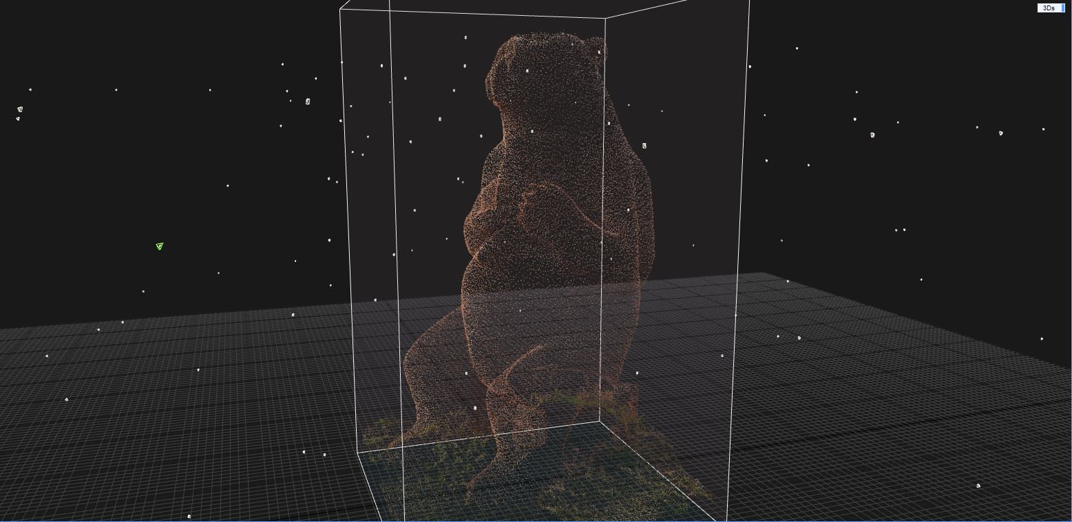
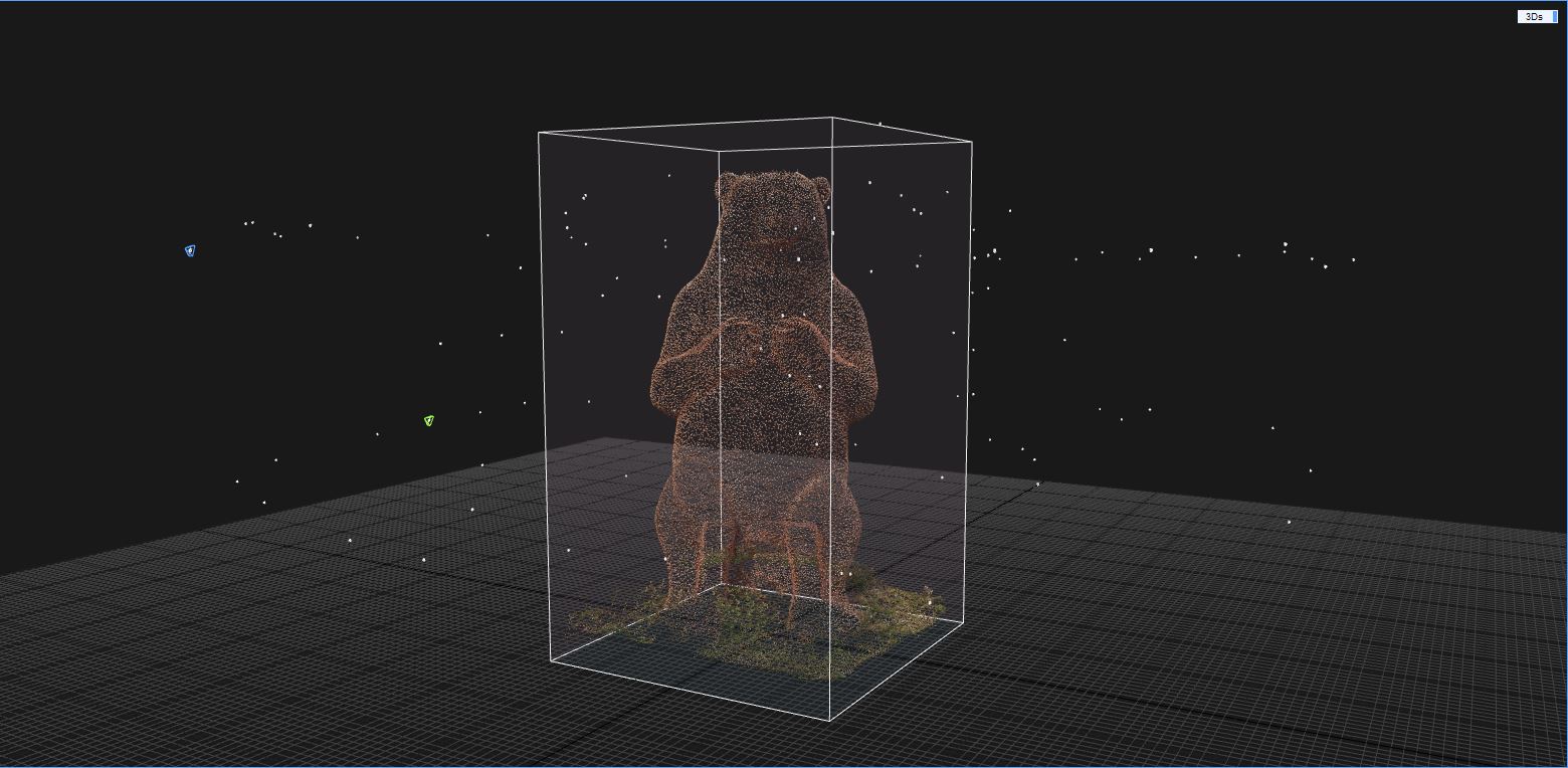
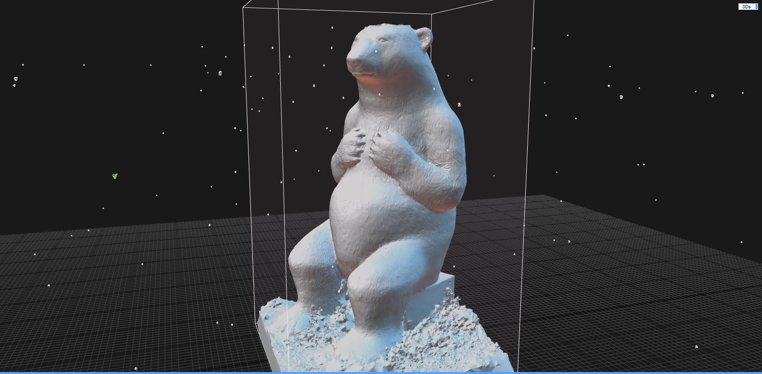
The scope of the workshop was to introduce participants to the basics of photogrammetry, while mapping a part of the out-door exhibition of Terra Studio, in Kikinda, Serbia. Students were taken through a crash-course on the different stages of photogrammetric data capture, in order to better understand what the specific challenges for each step are. Photos of ceramic sculptures and architecture elements were taken and processed. 3D models were generated through a pipeline: point-cloud, mesh, and textured model. The final 3D models were then viewed through the Reality Capture video generation feature.
The workshop was structured around a series of case-studies, on-site experiments and the use of photogrammetric software use – Reality Capture:
Day 1 – 4th April
- Workshop 1 – Hands-on approach with photogrammetry phone apps
Students were explained the very basics of photogrammetric data capture and the use of phone apps that had this specific feature. They were then required to try and create 3D models of some sculptures and architectural elements using these apps in order to understand the process of data capturing – its challenges and opportunities.
- Lecture 1 – Introduction to Photogrammetry / 3. Lecture 2 – Case-Study Projects
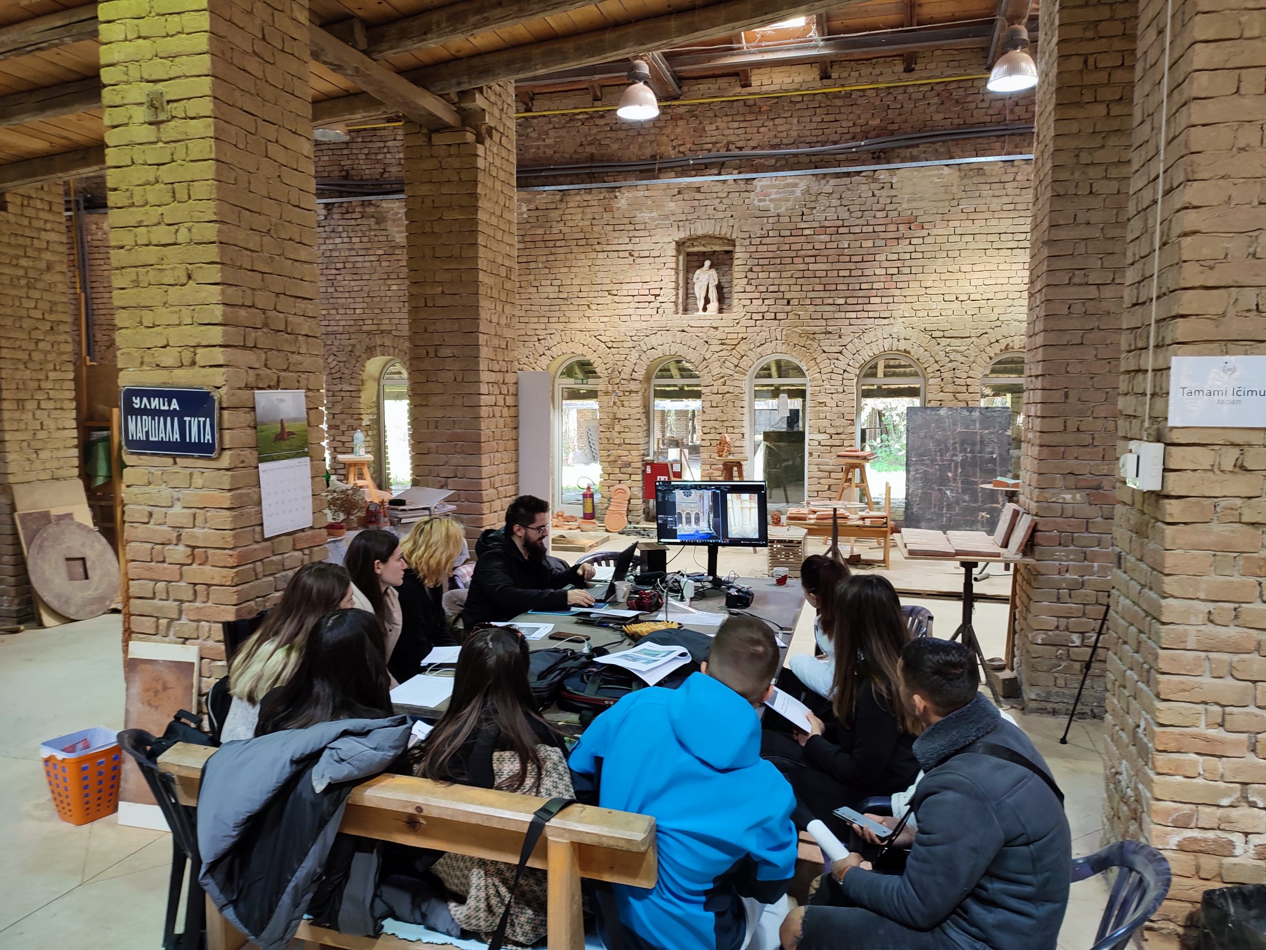
The first lecture introduces the theory and methodology of photogrammetric and point-cloud scanning. Required hardware and software were presented, from low-end to high-end specs while taking into account how their use could benefit the full process. To better understand how contemporary surveying methods can be of use for architects, three case-studies of heritage restorations projects were presented, that Răzvan worked on. In each case, standard surveying methods were used, and the time was measured for each step. Contemporary surveying methods principles were then introduced and detailed with varied examples ranging from small-scale objects to large-scale buildings and landscapes. We also presented some case-study projects that we have been working on in order to better understand the whole process and the best ways to use the available technology.
- Workshop 2 – Data Gathering
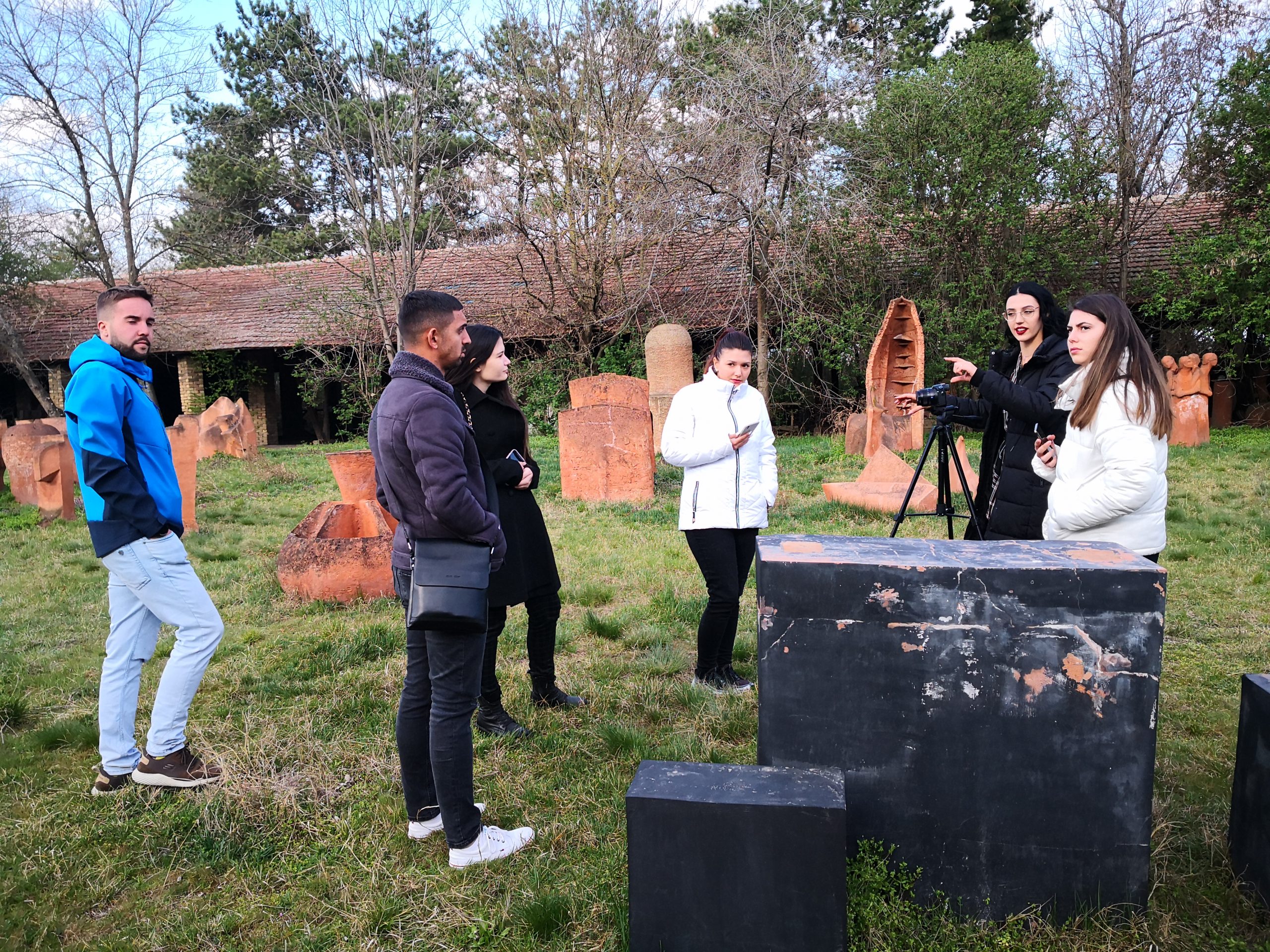
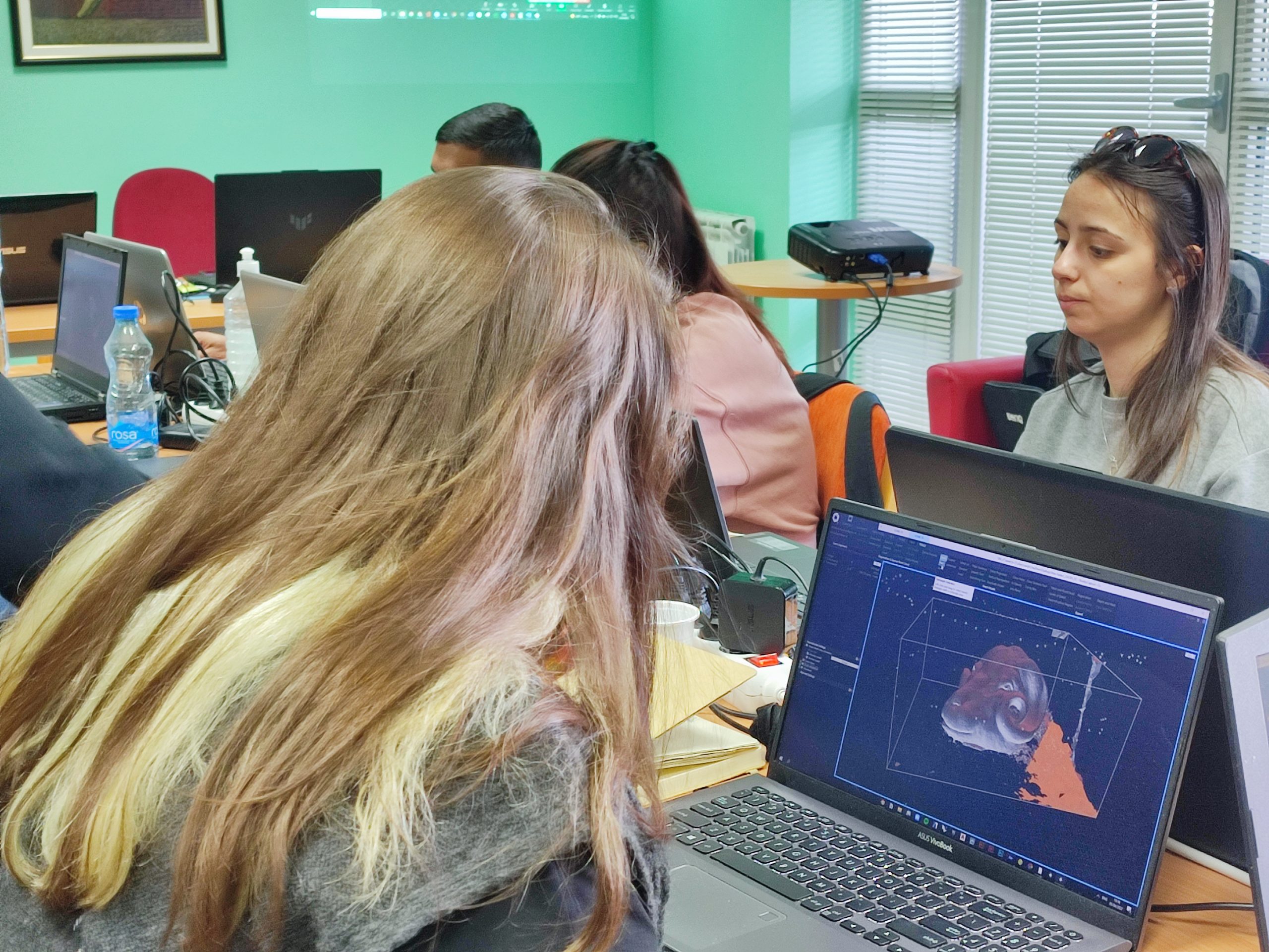
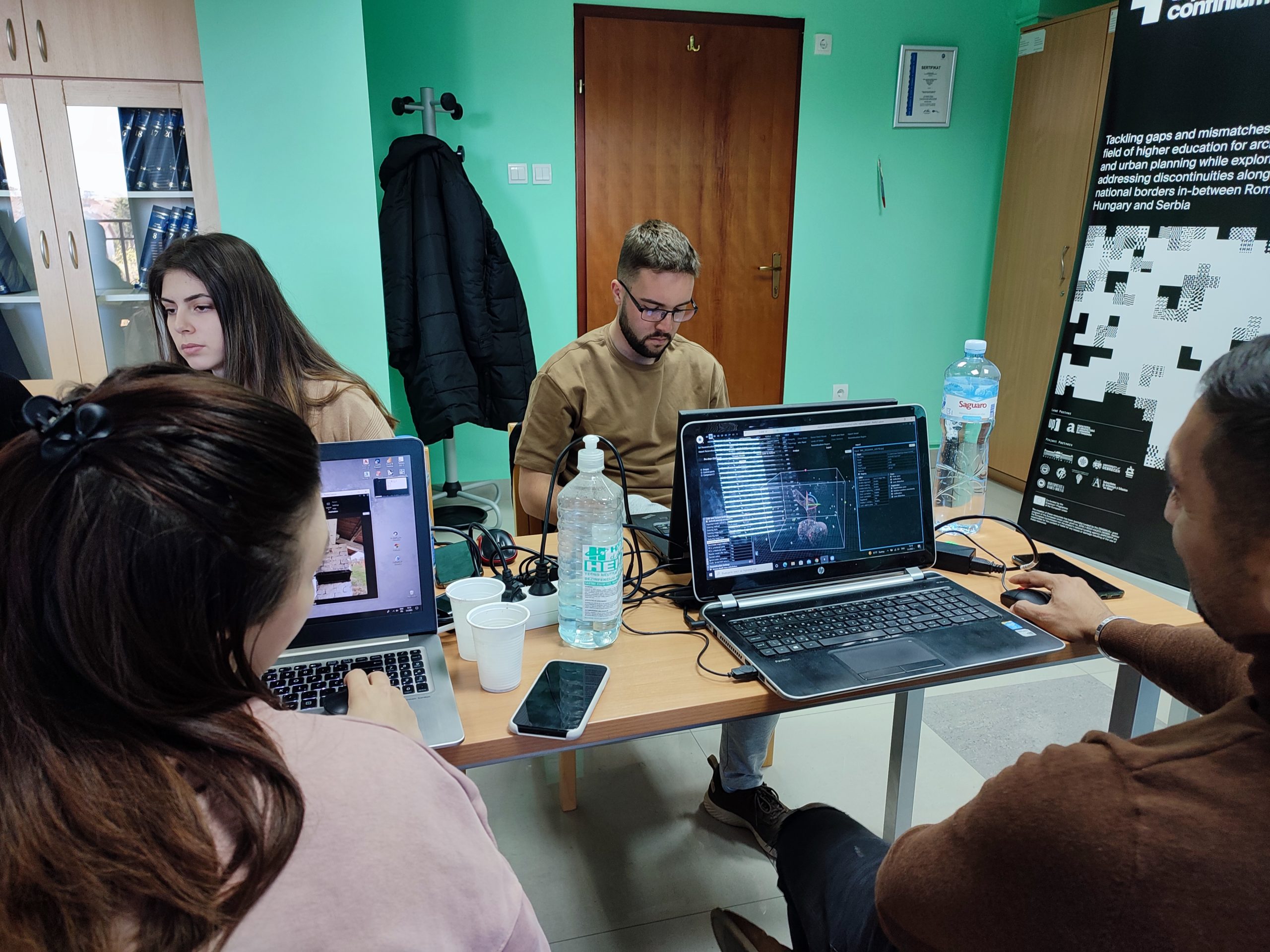
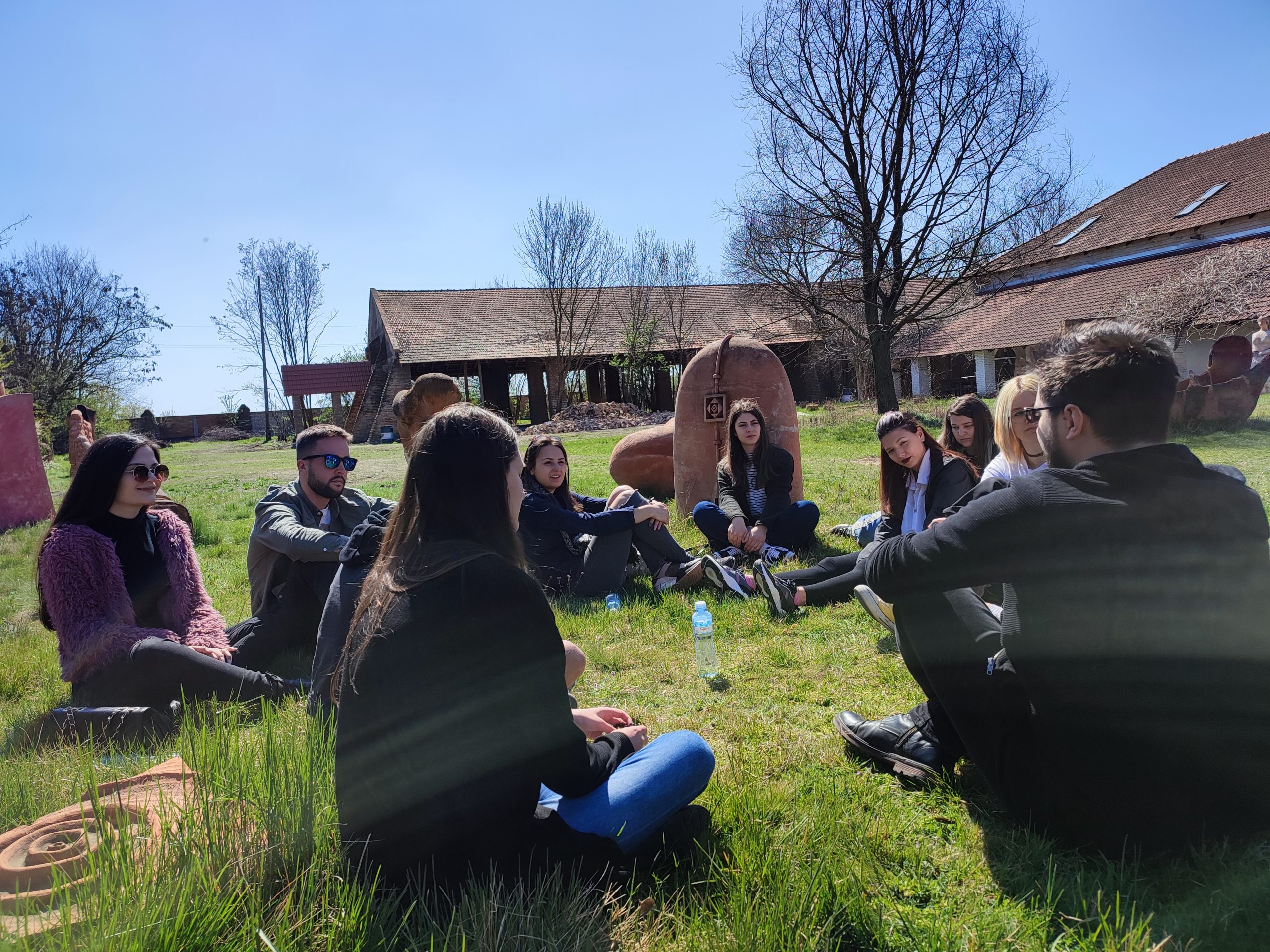
After students were presented a more in-depth view of photogrammetry scanning techniques, they were required to use the newly acquired information to take pictures of a number of exterior sculptures and architecture elements. Each of them had to calibrate their phone camera or DSLR in order to make the best use of their available equipment in order to obtain the desired results. They had to take into account the lighting, the weather, the dimension of the sculpture, the physical access to every side of the object, the maximum number of photos (100) and at least an image overlap of 70%.
Day 2 – 5th April
- Workshop 3 – Reality Capture Alignment / 6. Workshop 4 – Reality Capture Meshing / 7. Workshop 5 – Reality Capture Texturing / 8. Workshop 6 – Reality Capture exporting and 3D Viewing
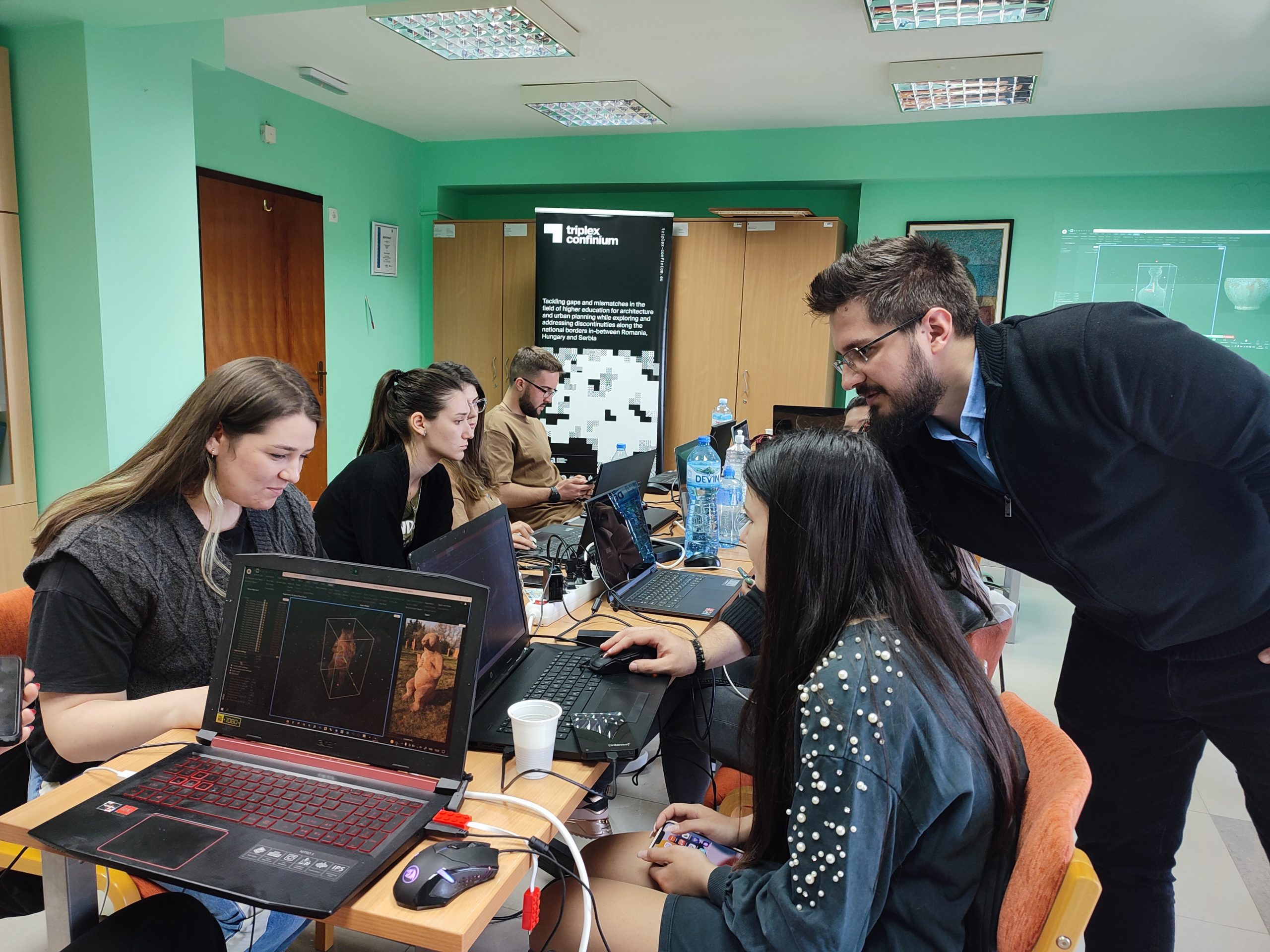
The second day of workshop consisted of creating the 3D models of the scanned objects, using specific photogrammetry software – Reality Capture. Students were presented the general workflow of the software with the optimal settings for each step:
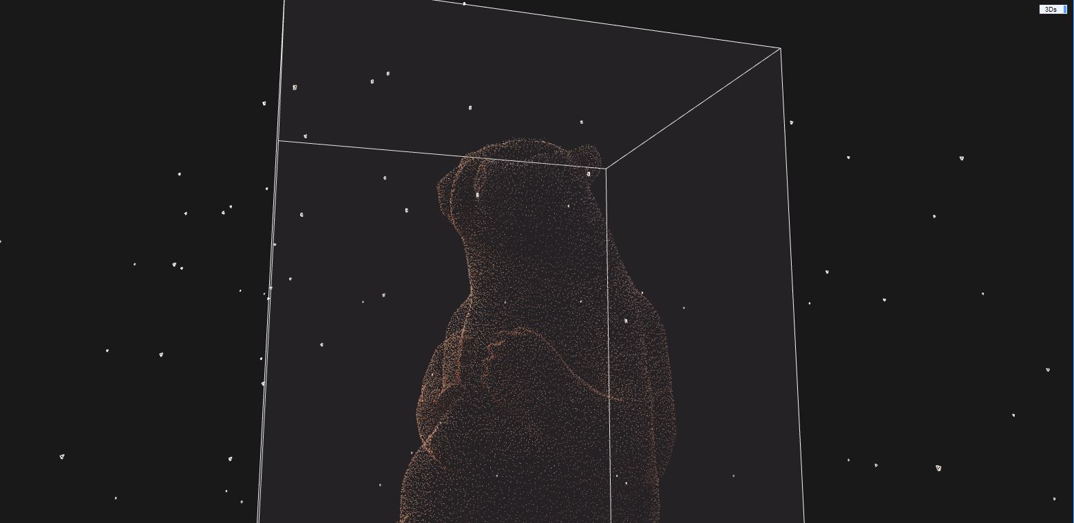
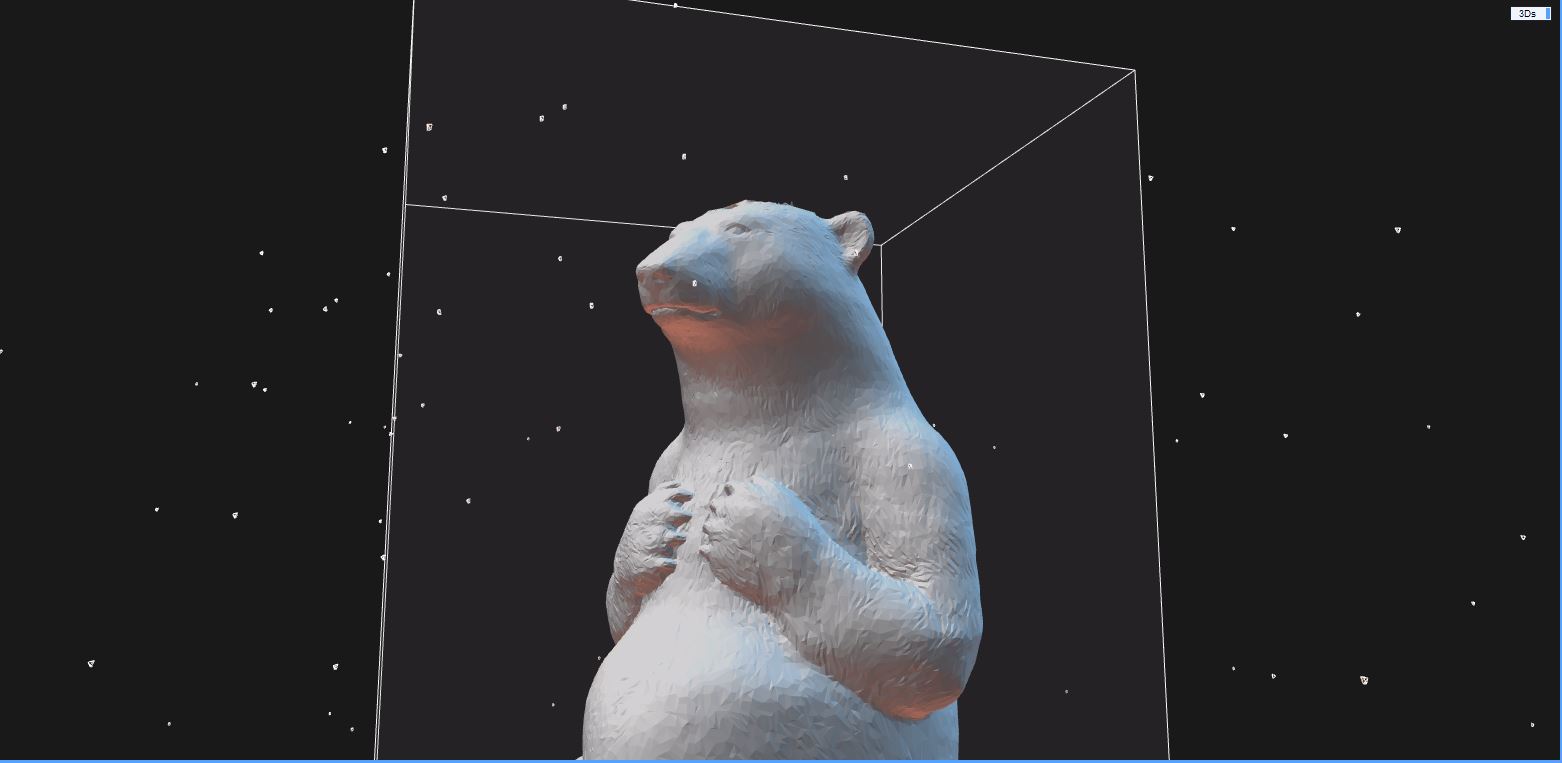
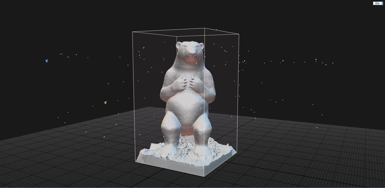
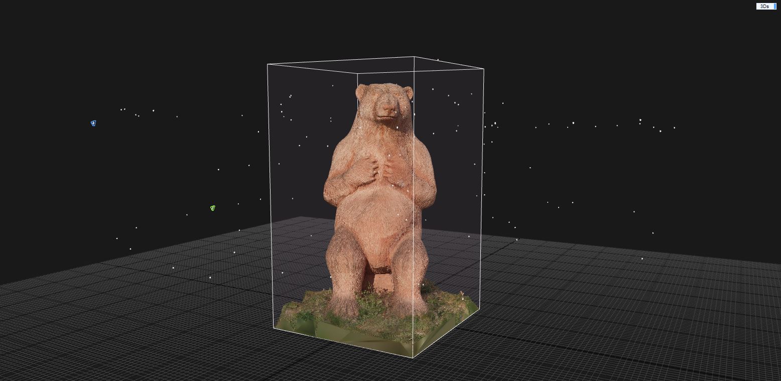
- Photo Alignment – this step generates the point-cloud of the 3D model from the photos taken. After the point-cloud was generated, students needed to create a Reconstruction Box around the objects that they wanted to model
- Meshing – after the point-cloud was generated, the mesh of the object could then be created. The created mesh had to be afterwards cleaned of all unnecessary information, artefacts and irrelevant information.
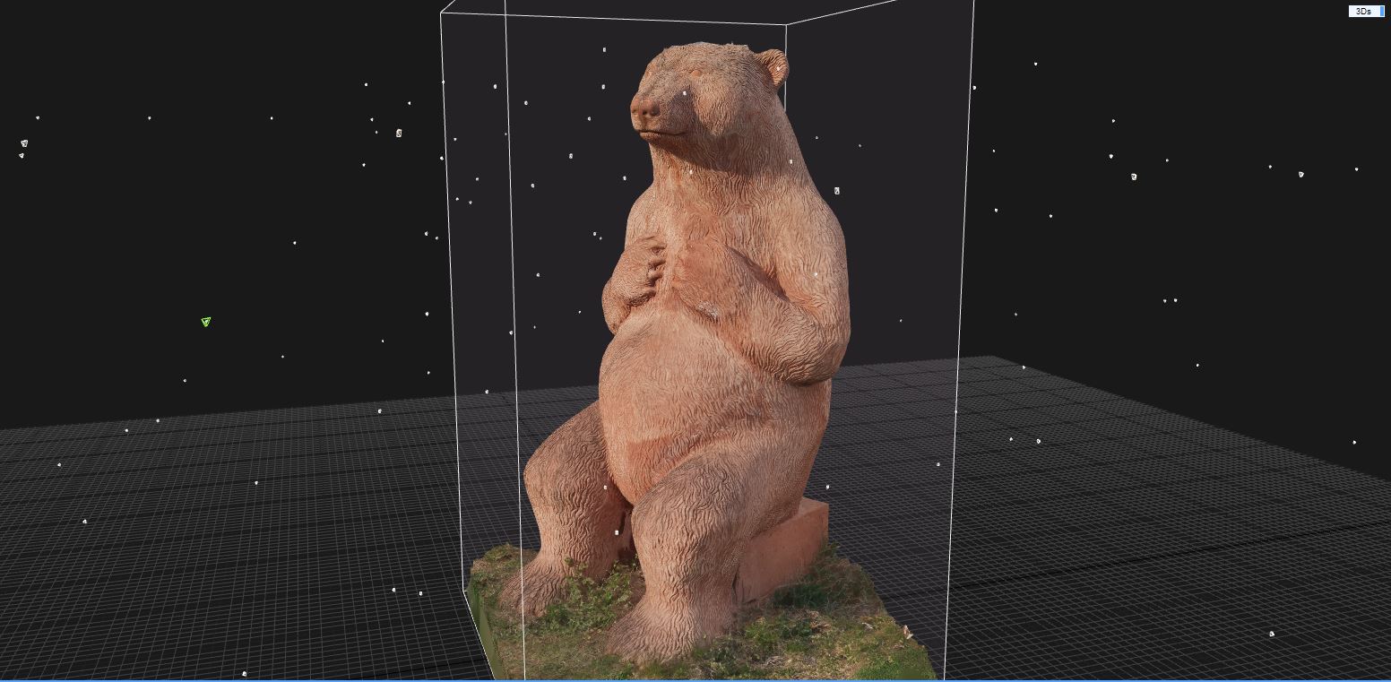
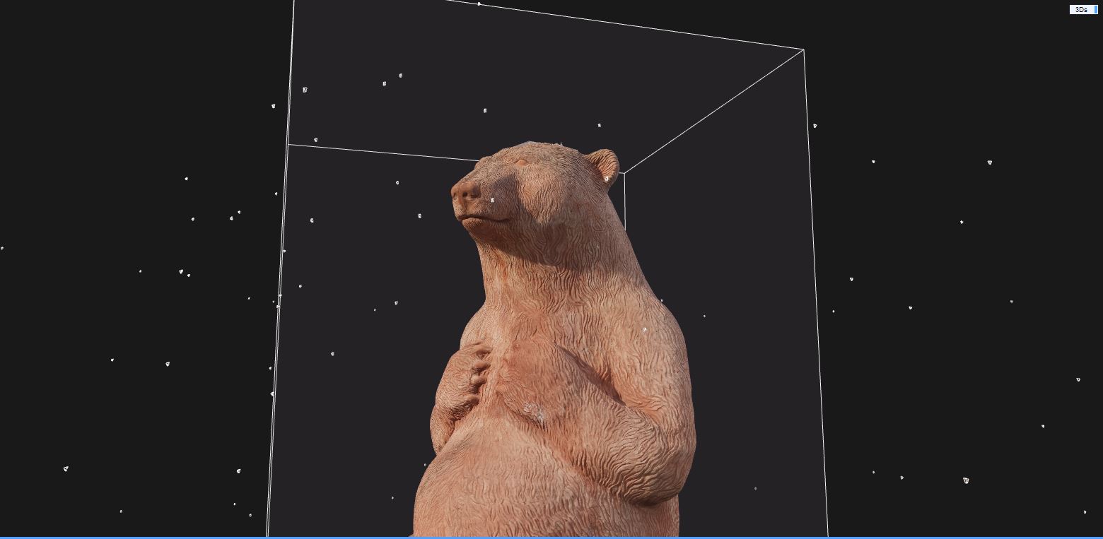
- Texturing – the mesh was then textured with a medium-high quality texture
- Exporting. 3D viewing – students were familiarized with the types of files that could be exported from Reality Capture (textured or white-model 3D objects, point-clouds, rendered images and videos) and their further use in design and modelling software (ArchiCAD, Revit, Blender, etc.)
Day 3 – 6th April
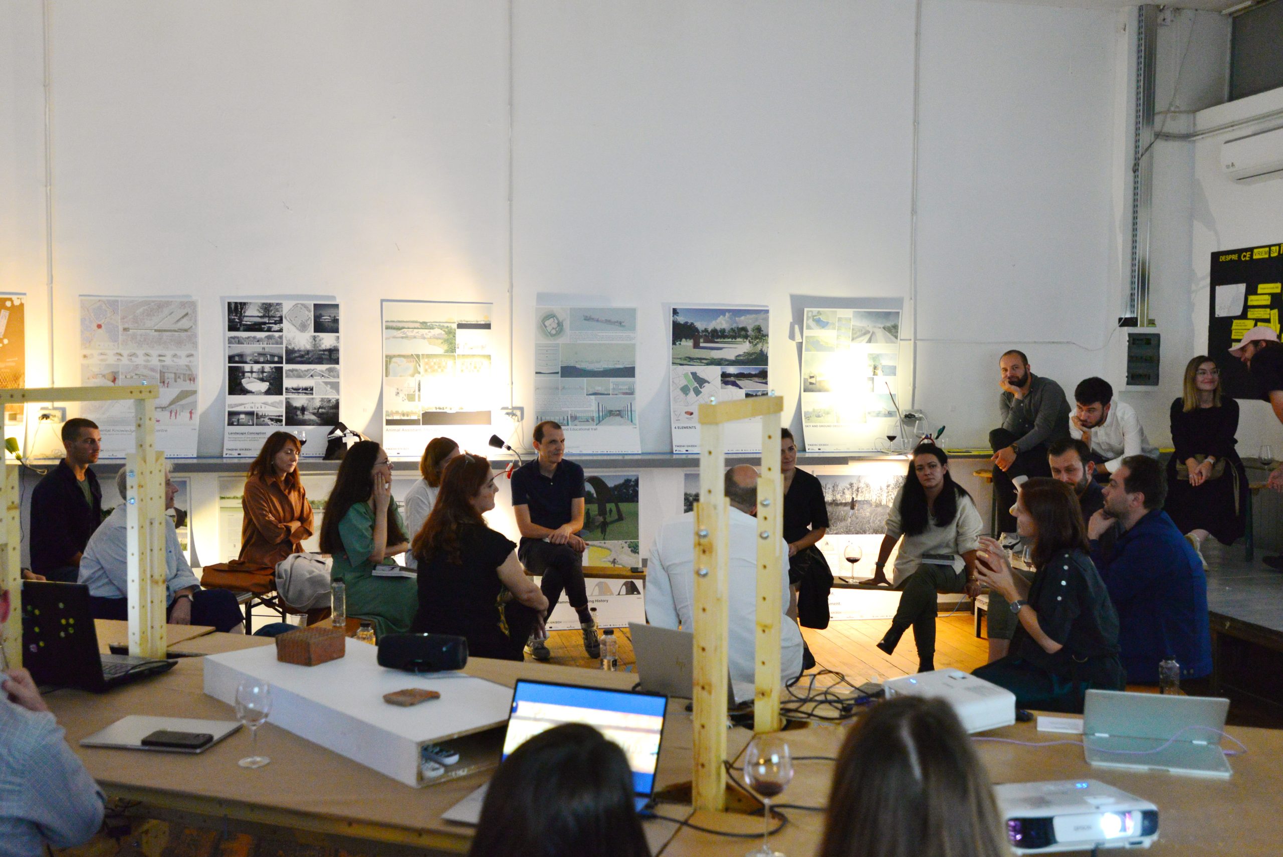
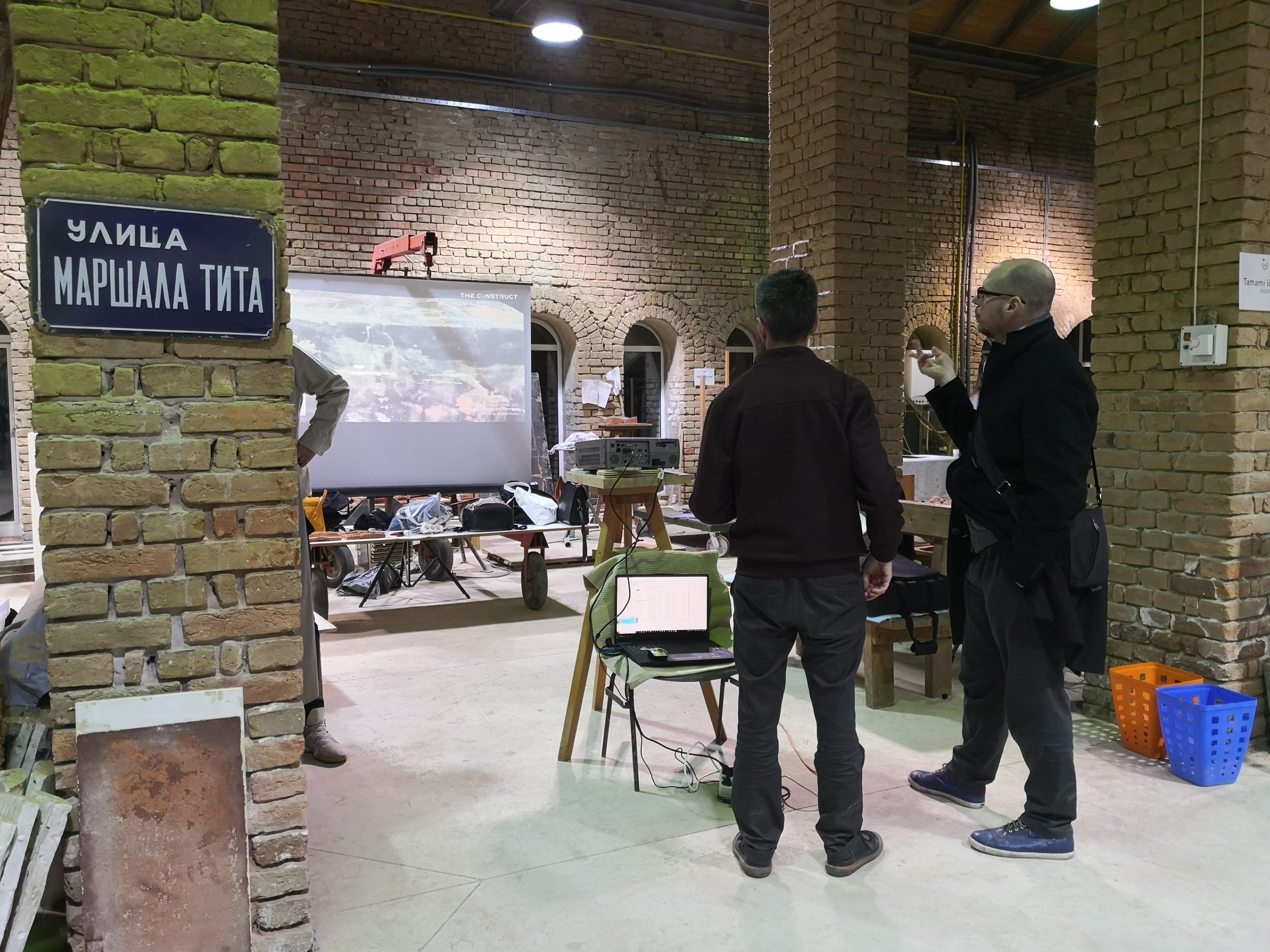
The last day of the workshop concluded with a closing discussion, feedback session and future plans. Students desired to know when the next workshop will be held and were eager to take part in the interviews that we took.
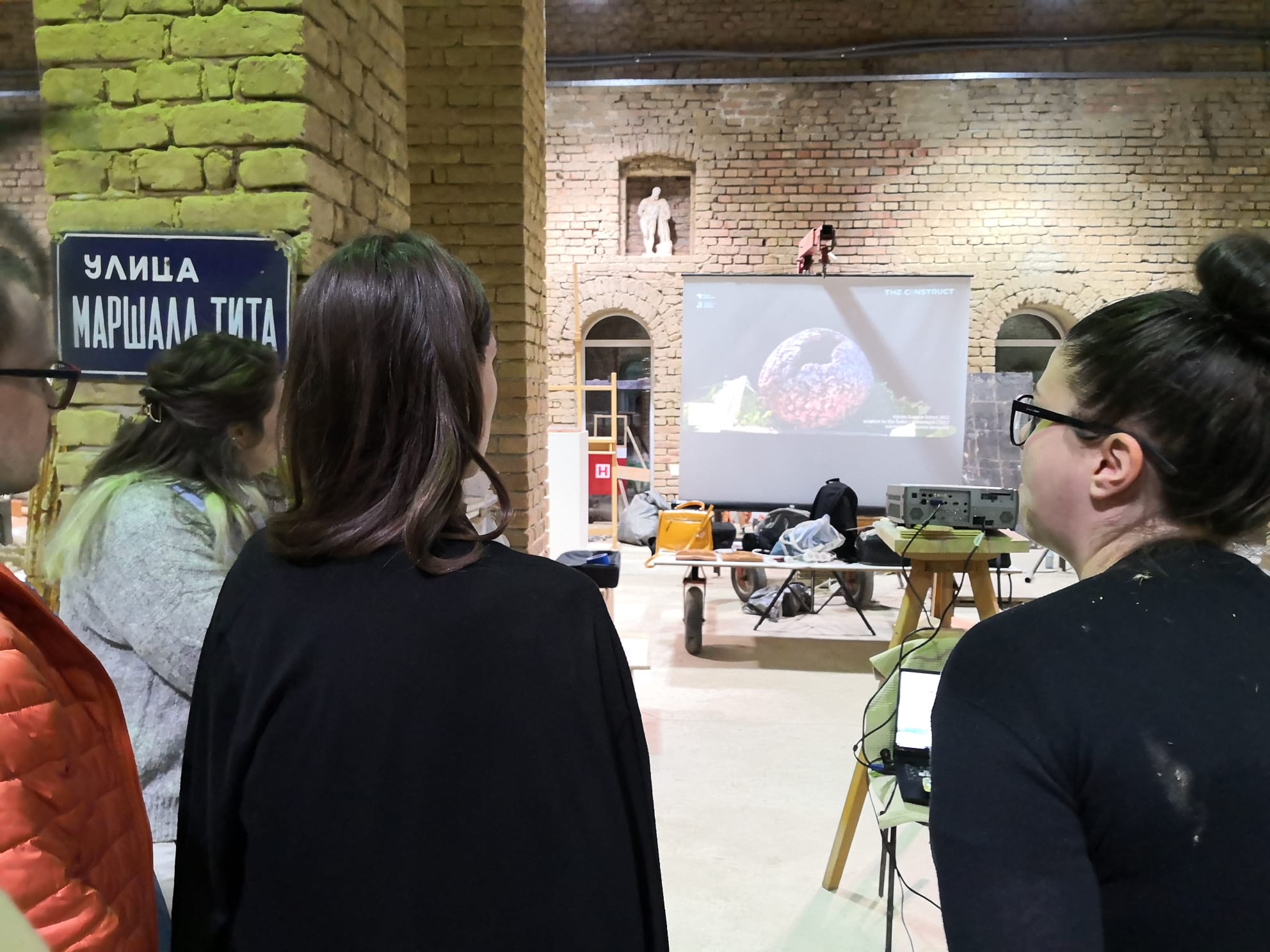
Kikinda Summer School closing day
At the end of the Summer School, The FAUT team organized a continuous video projection with the results of the workshops – the 3D models generated by the students.
Text and Media: Dinu Dan – Răzvan, Ștefan Szekereș, Simina Vartolomei