
ATLAS 01- THE QUARRY LAKES
Think Brick’s Site as seen through its natural setting
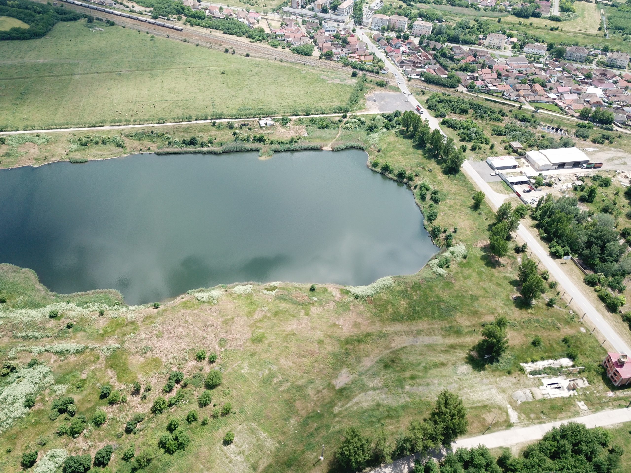
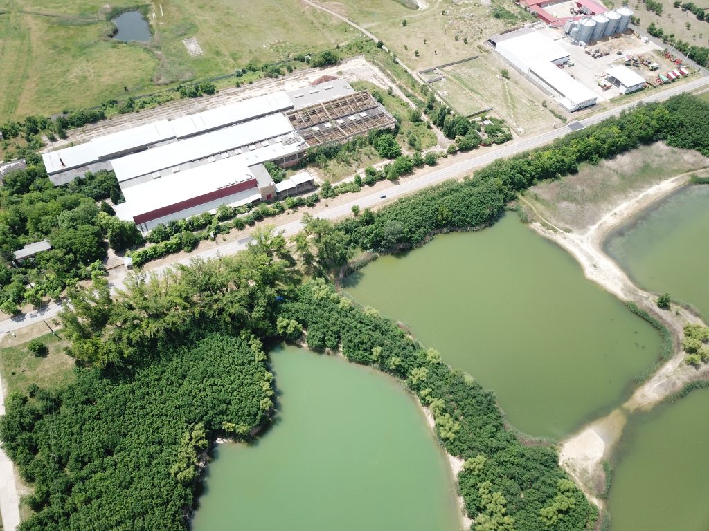
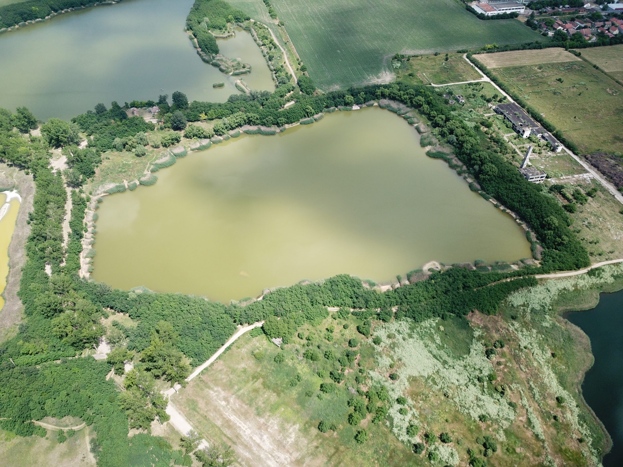
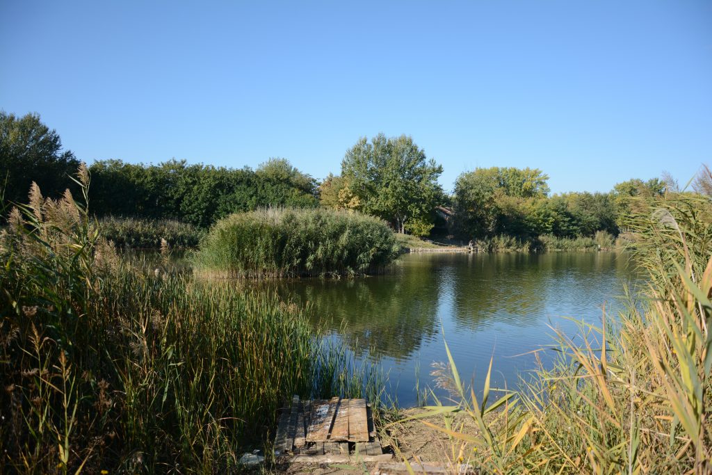
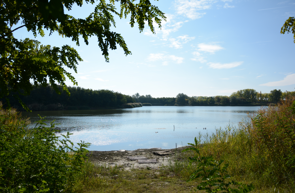
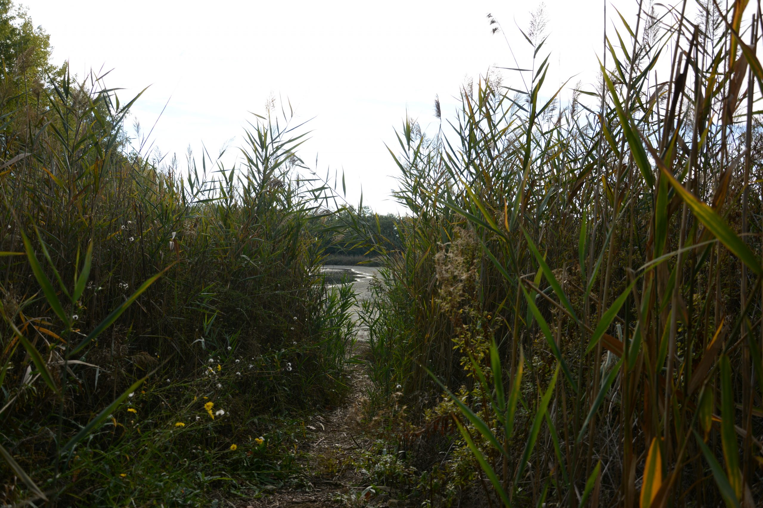
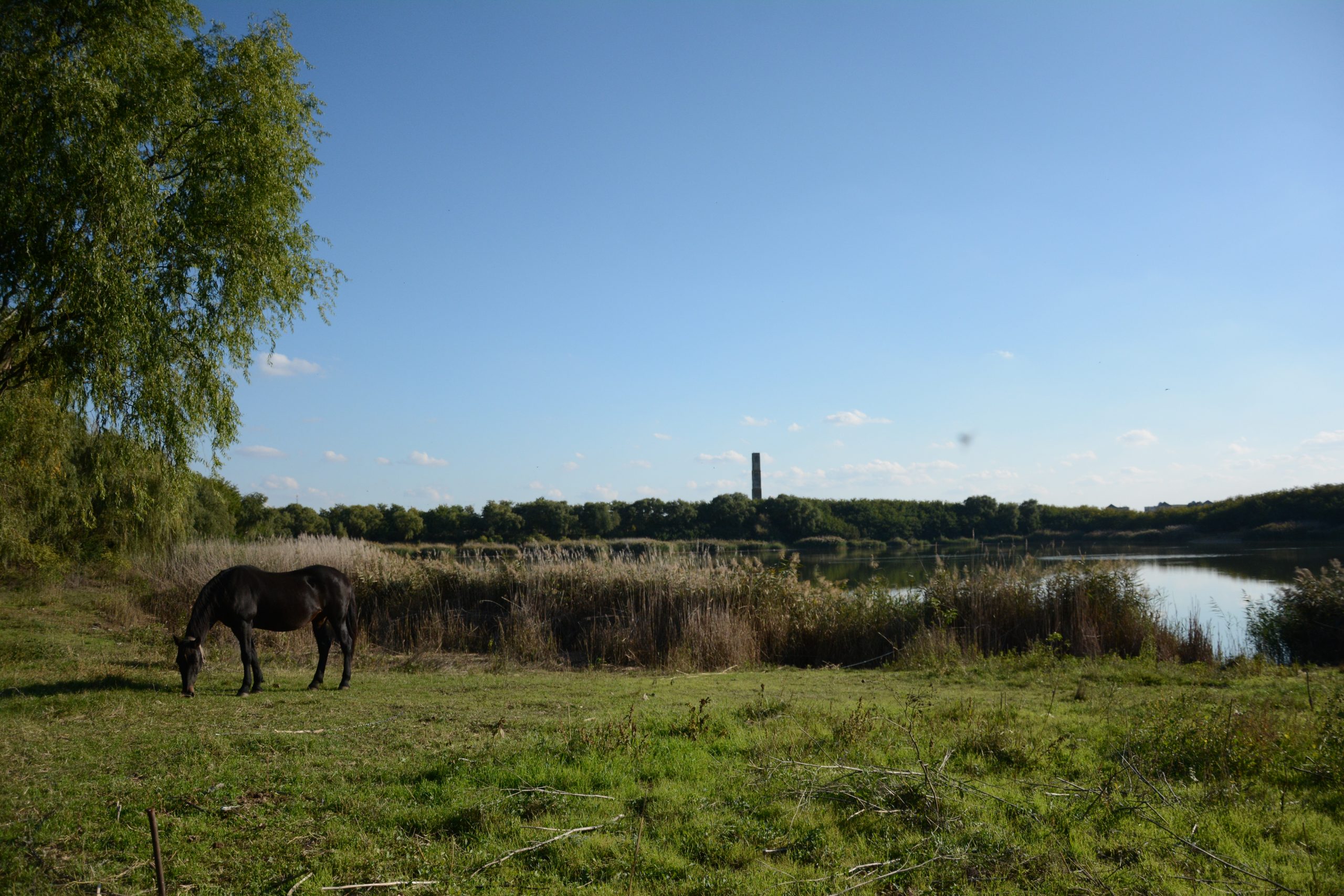
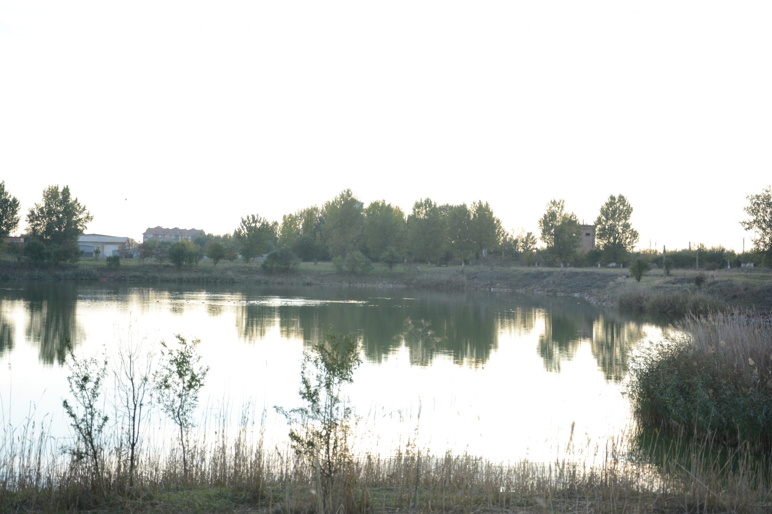
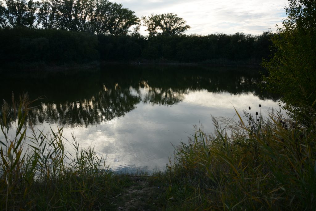
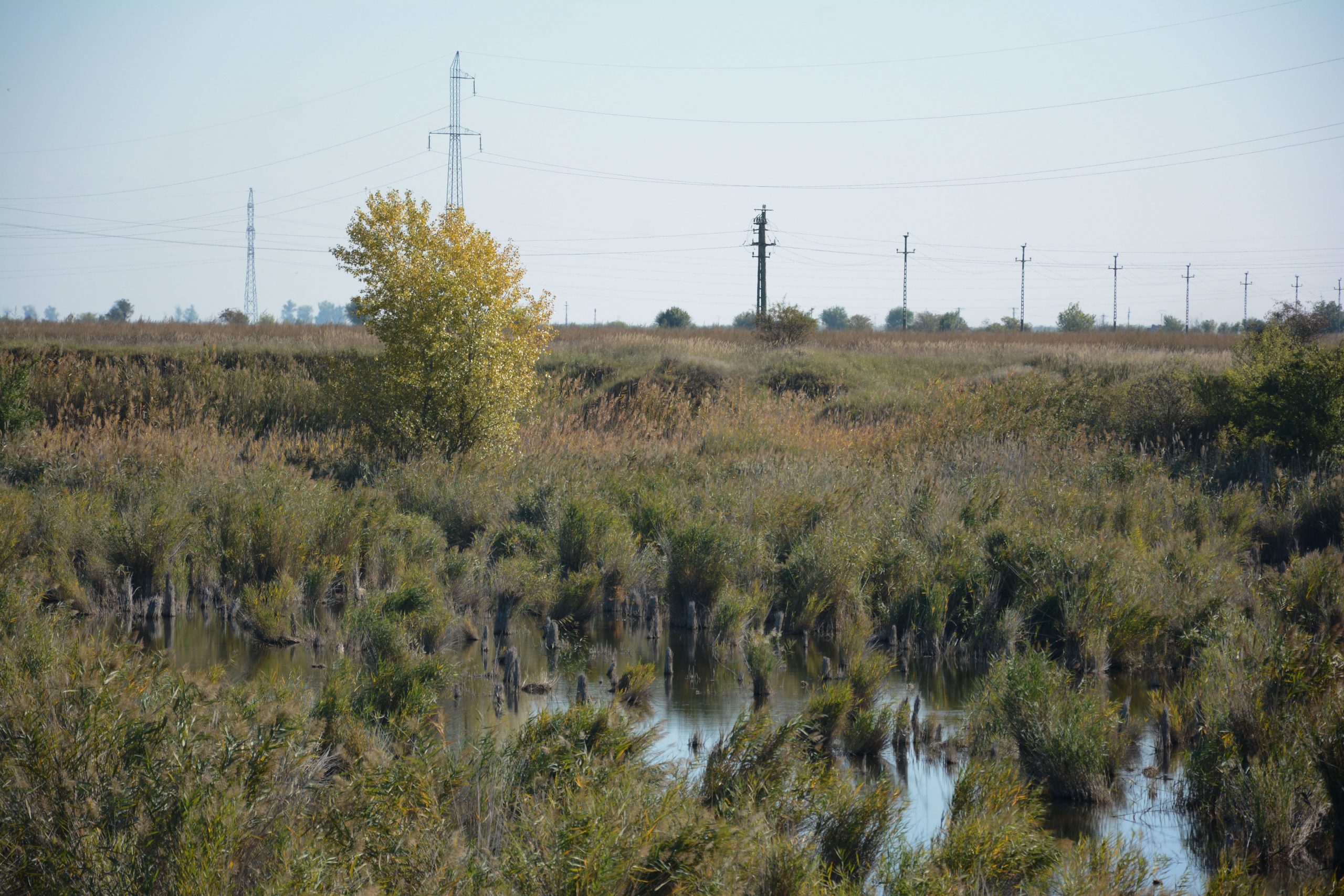
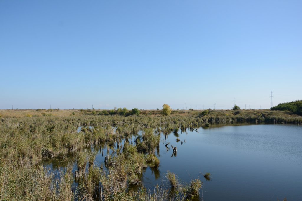
The complex activity of land exploitation carried out over time in Jimbolia, in order to produce ceramic products, led to the appearance of several pits that later transformed, naturally, into anthropic lakes. In the native language, these water filled earth quarries are called “bălți”. In their current natural state, the lakes are a good reference point for observing the interaction between human activity and the landscape, both past and present.
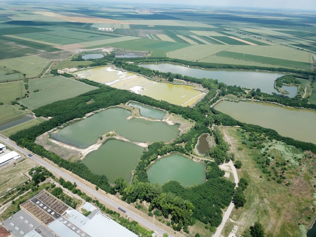
The quarry lakes
The technology for manufacturing quality ceramic products involved the application of specific mixing recipes. In order to achieve these, different types of clay were excavated at various depths and from different quarries. While some quarries are only a few meters deep, others are believed to reach depths of even 30 meters. Scraping the earth at such depths was not without its surprises, and several paleontological or archaeological elements were found in the process. Mammoth and rhino bones have been discovered, as well as mill stone believed to have been used in ancient times.
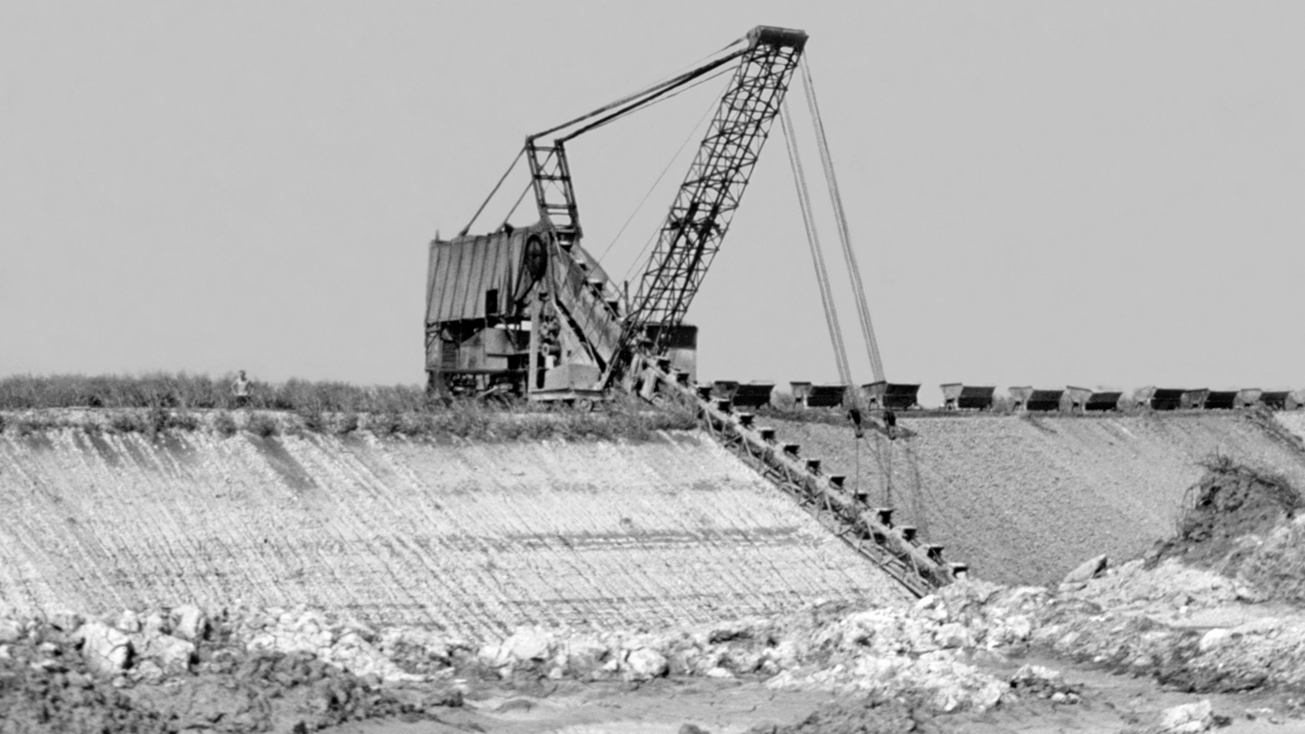
During their initial exploitation stages, the quarries were dug by “Kubikas”, intensive laborers using only shovels and spades. These early workers were paid per cubic meter, hence their name. By the end of the 19th century however, clay exploitation was performed using specialized machinery. Excavators called “buggers” and narrow-gauge railway networks soon appeared in the area of the ponds. The buggers were crane-like structures mounted on tracks on the side of the quarry. Their arm could be lowered inside the quarry, and was equipped with excavator buckets that continuously scraped the surface in a circular motion. The material was dumped in train carriages and later moved to the mixing facility. For better organization, some lines run only with loaded carriages, while others only with unloaded ones. This is how local names appeared, such as “full”, “empty”, but also “Hallo”, which designated the tower from which the trains movement was coordinated.


The quarries themselves have names that are far from abstract. Even if their meaning no longer resonates with the reality known today, they were however named once, after their main utility, or type of clay that they produced. This is how names like Herișanu, Blue, Szeles, Hemp, Two, etc. appeared.
-

- DCIM100MEDIADJI_0055.JPG
-
- DCIM100MEDIADJI_0060.JPG

-
- DCIM100MEDIADJI_0054.JPG

-
- DCIM100MEDIADJI_0053.JPG

-
- DCIM100MEDIADJI_0052.JPG

-
- DCIM100MEDIADJI_0051.JPG
-

- DCIM100MEDIADJI_0050.JPG
-

- DCIM100MEDIADJI_0049.JPG
-
- DCIM100MEDIADJI_0048.JPG

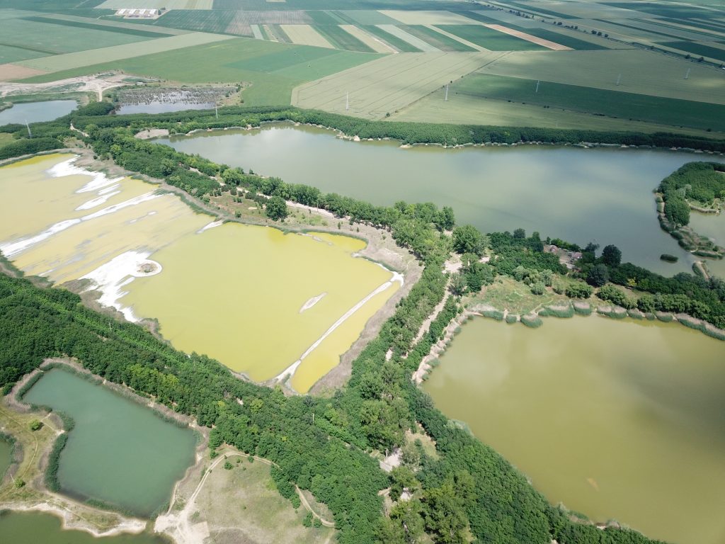
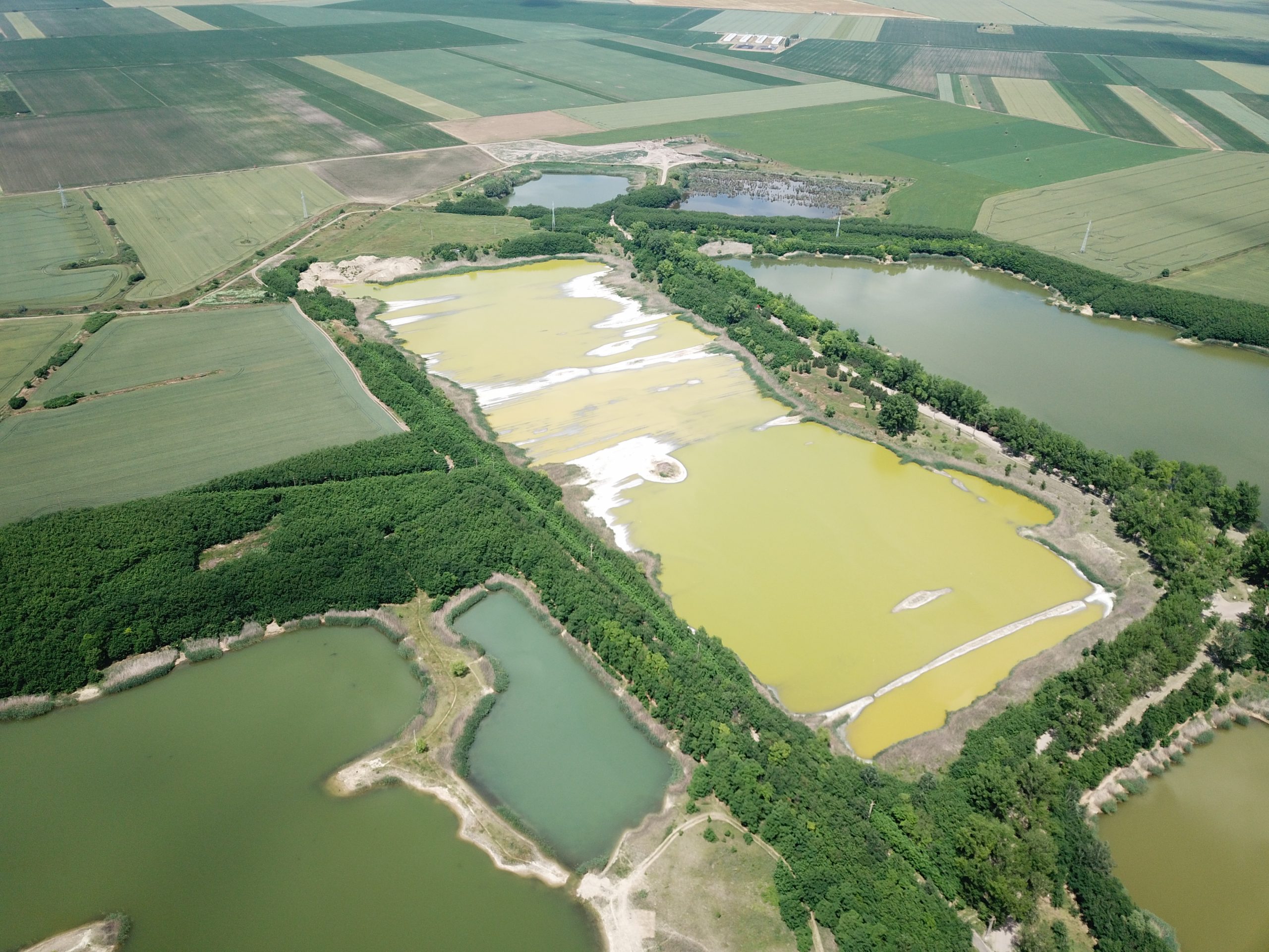
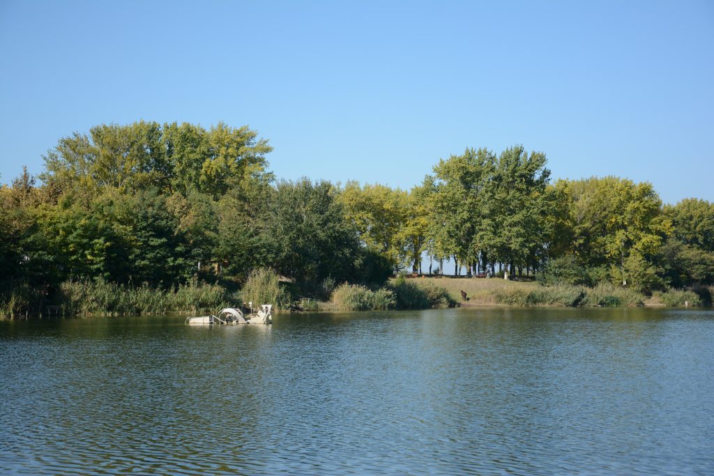
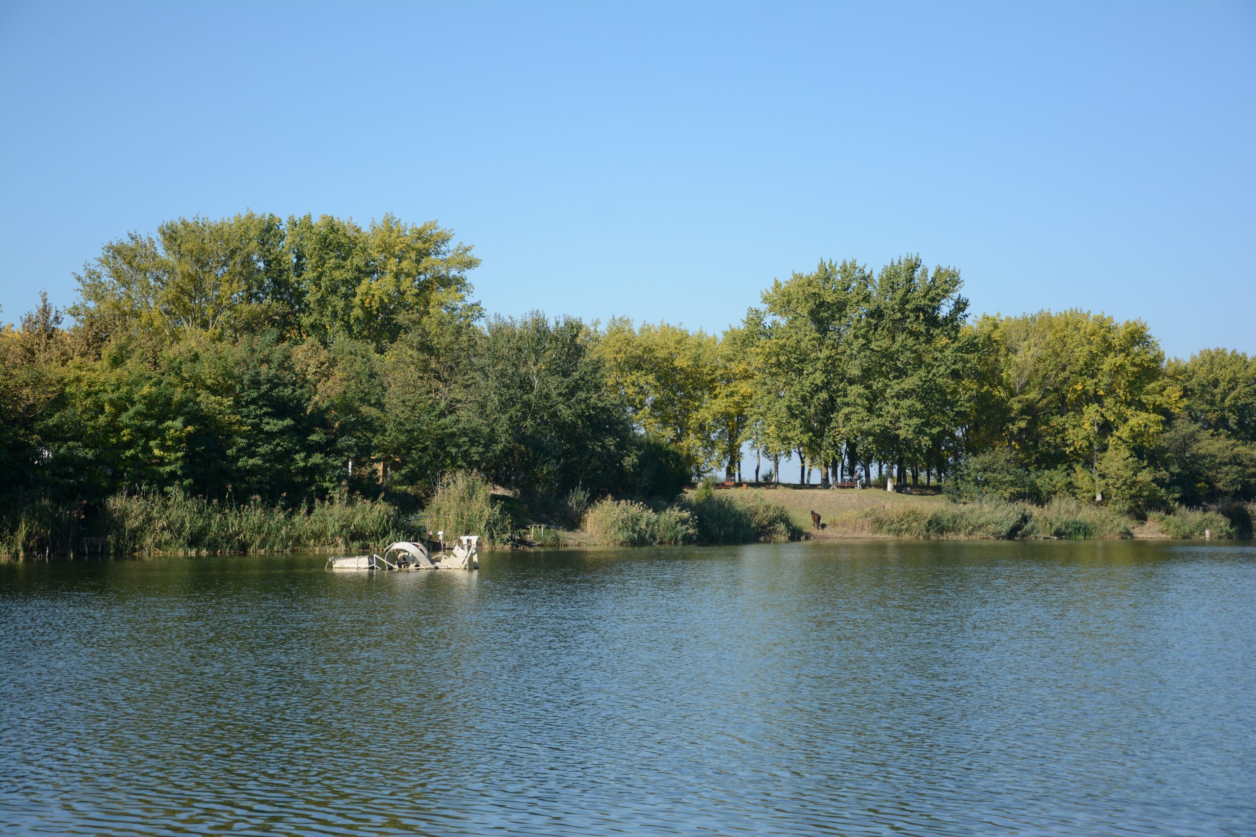
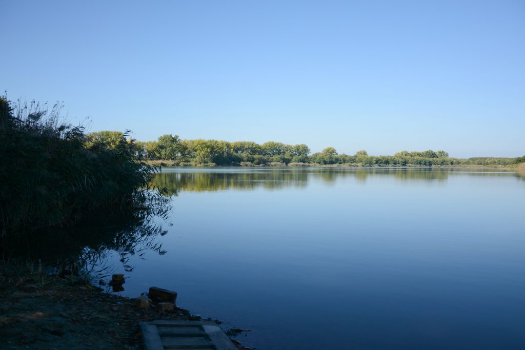
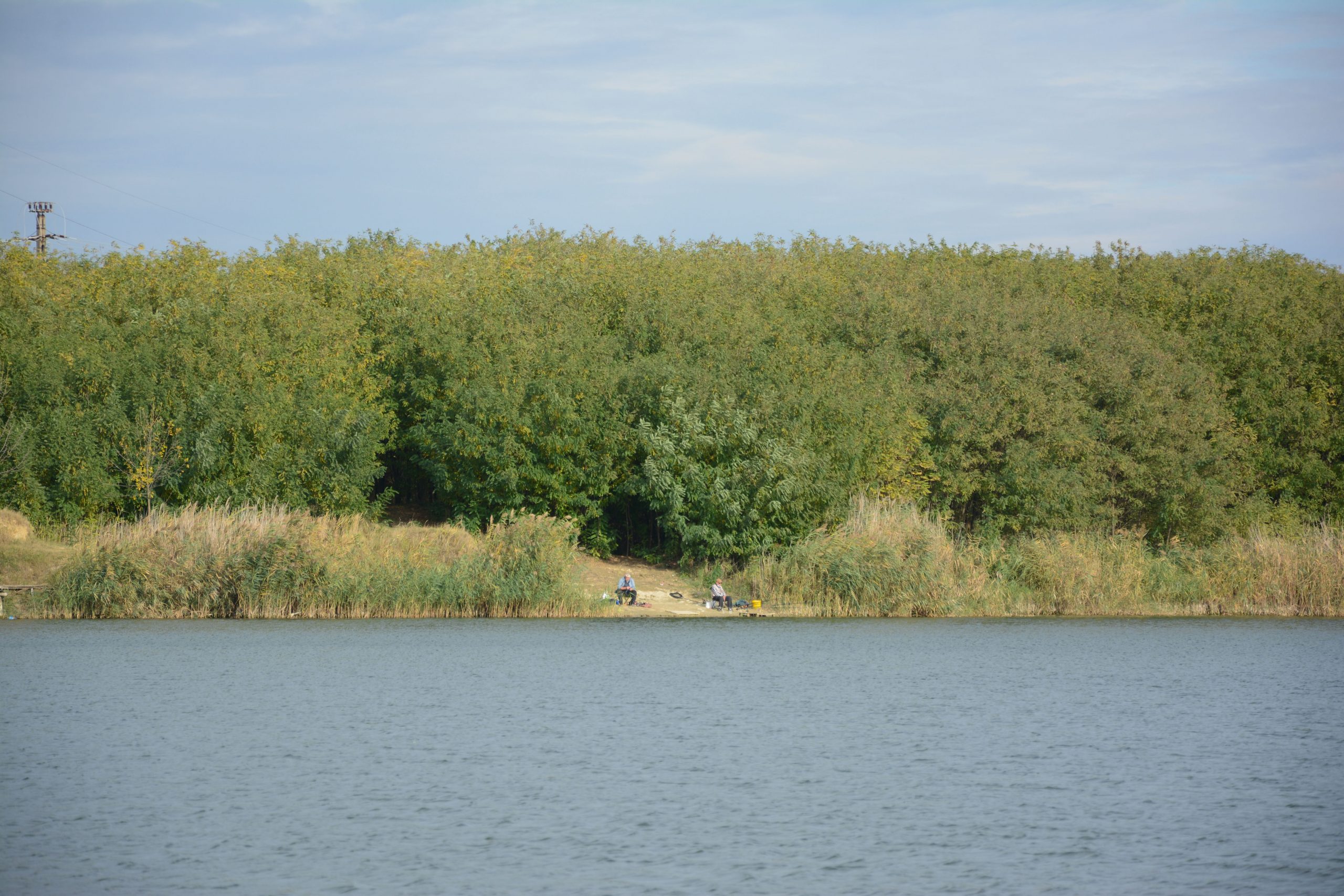
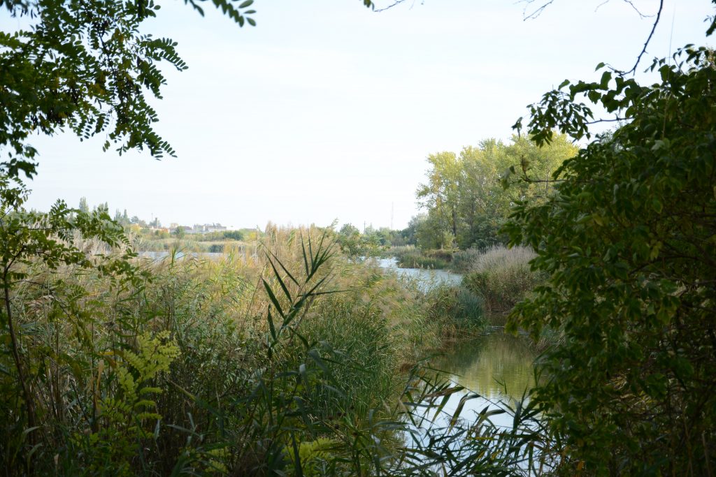
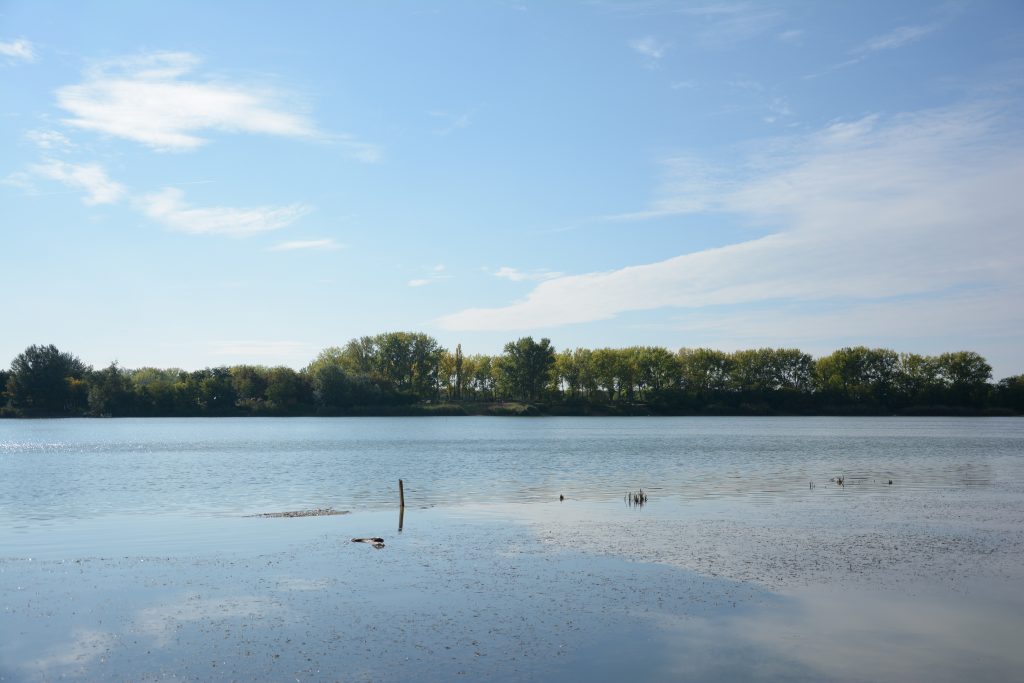
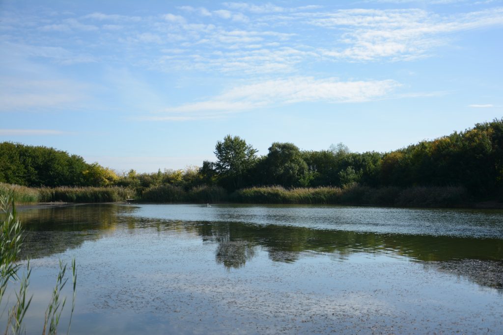
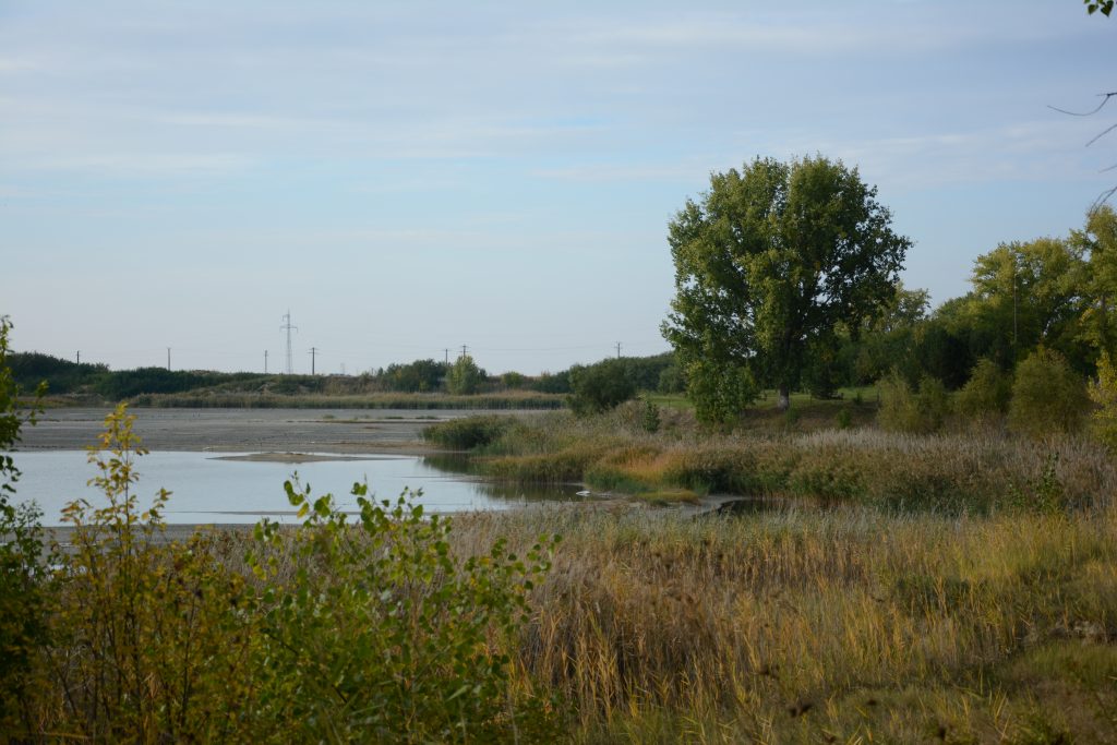
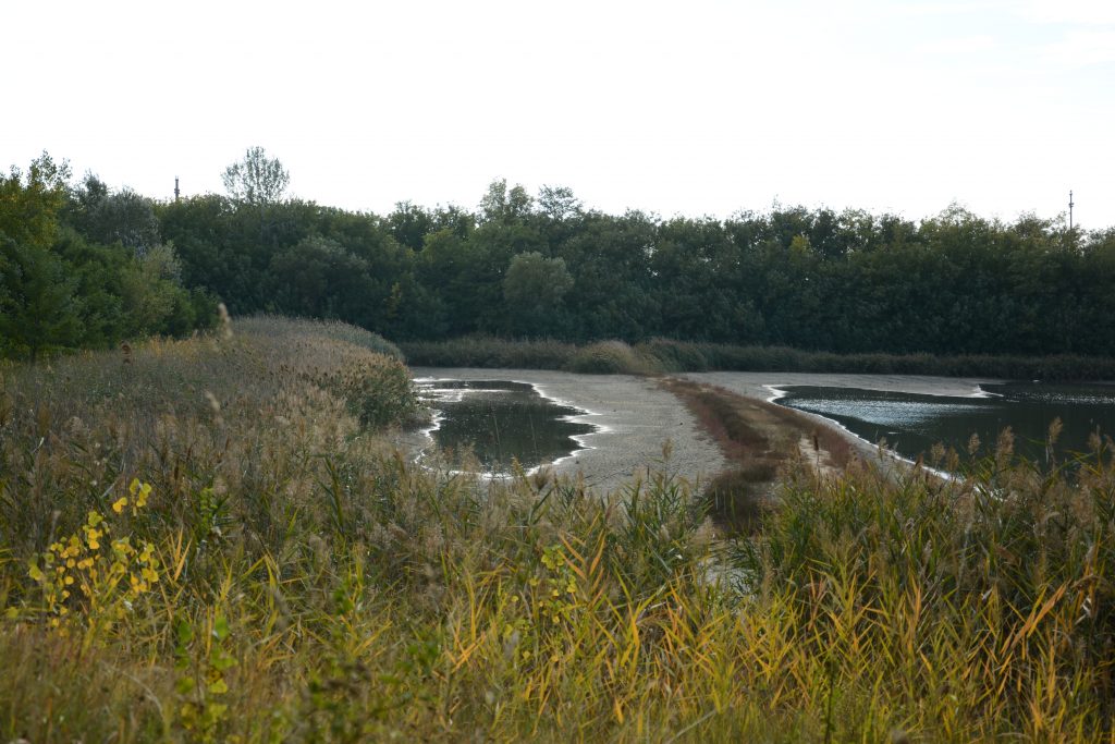
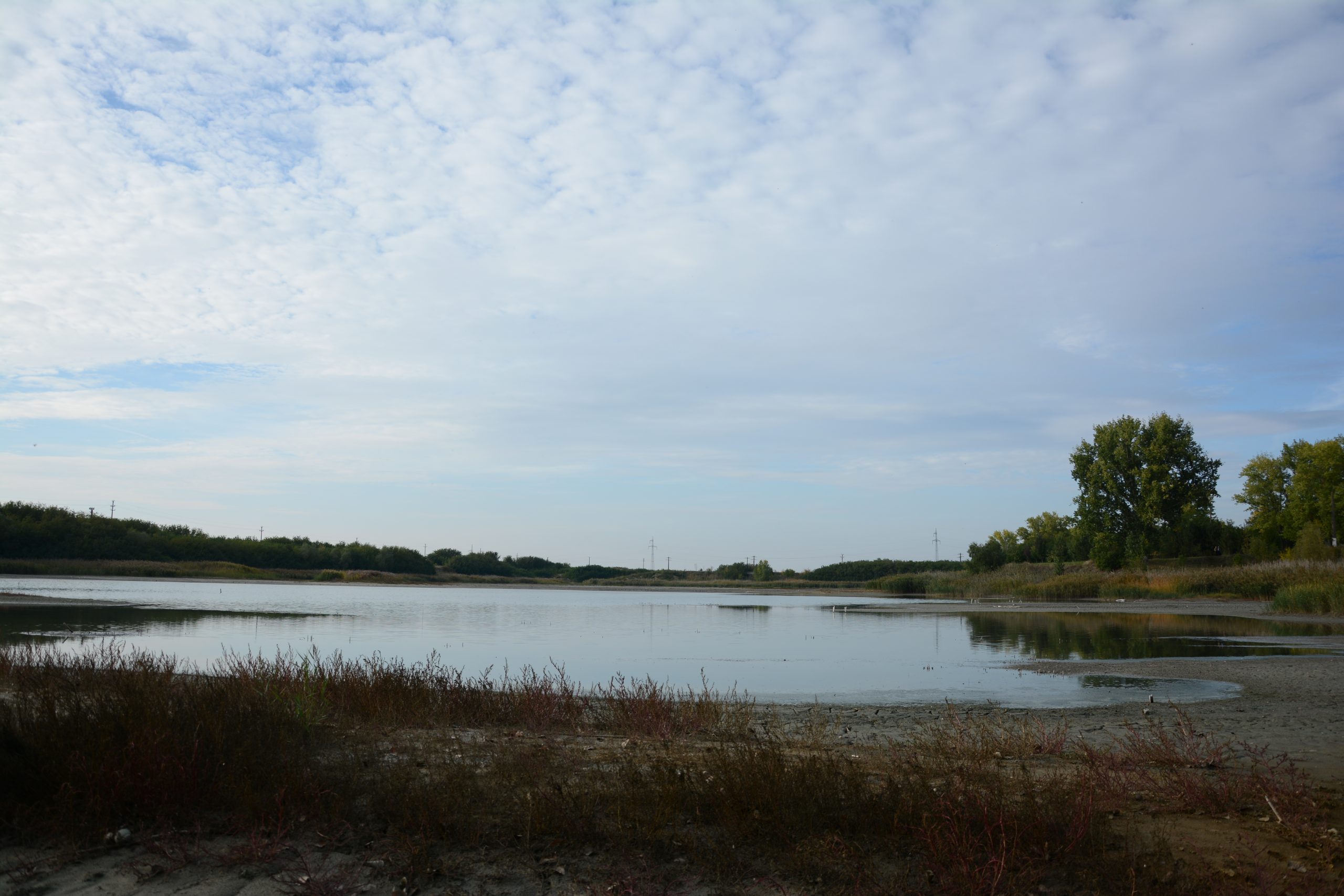
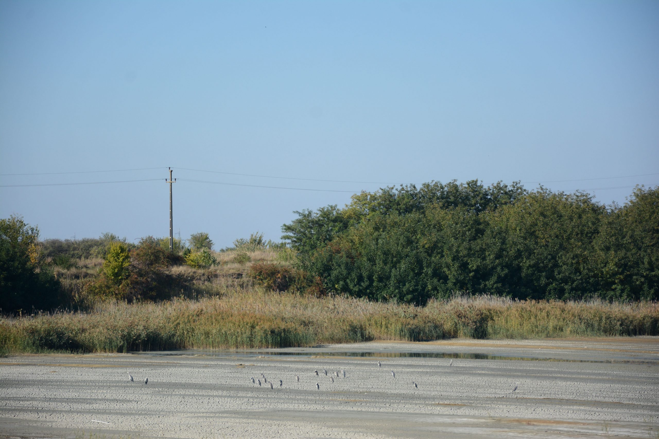
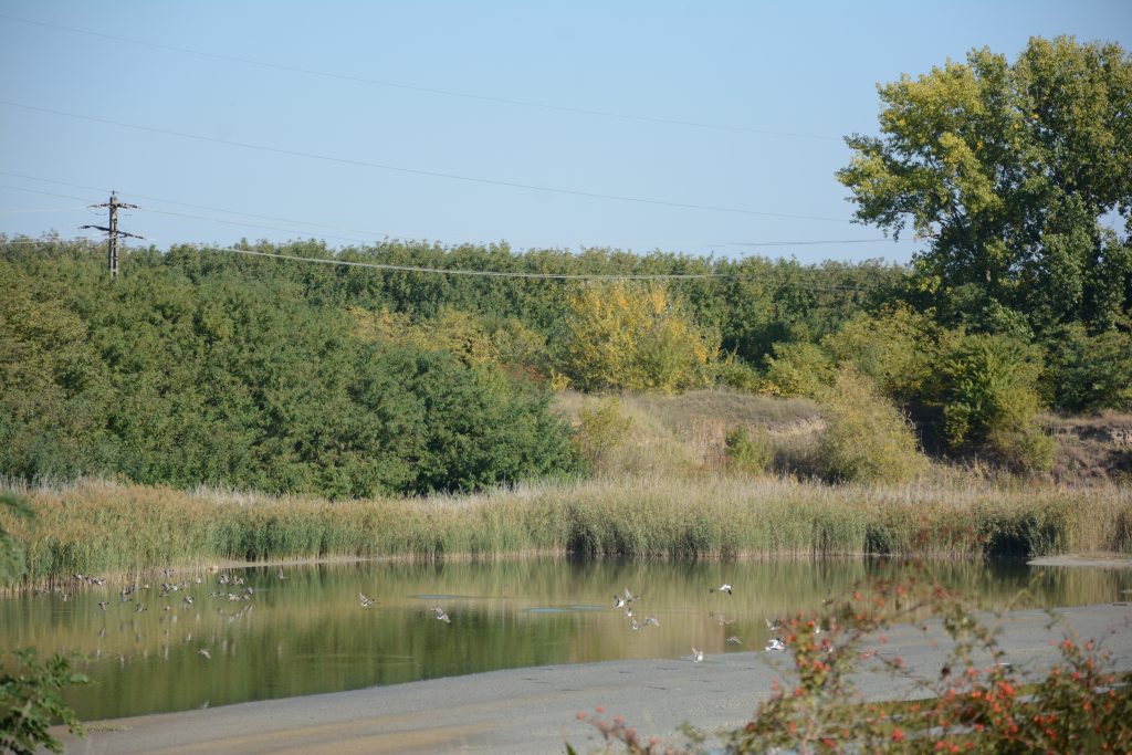
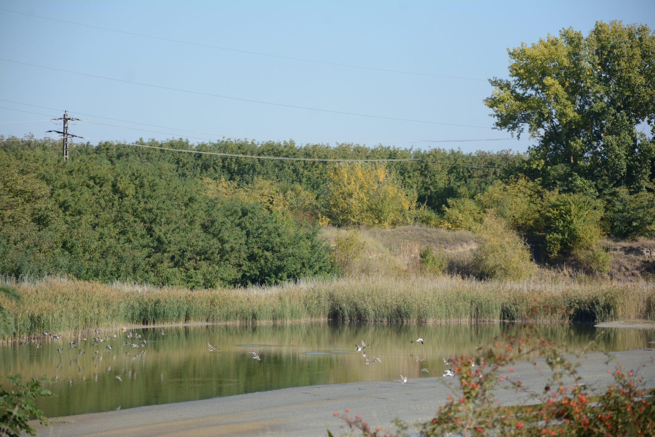
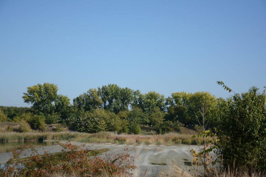
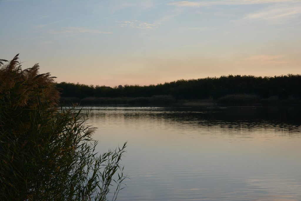
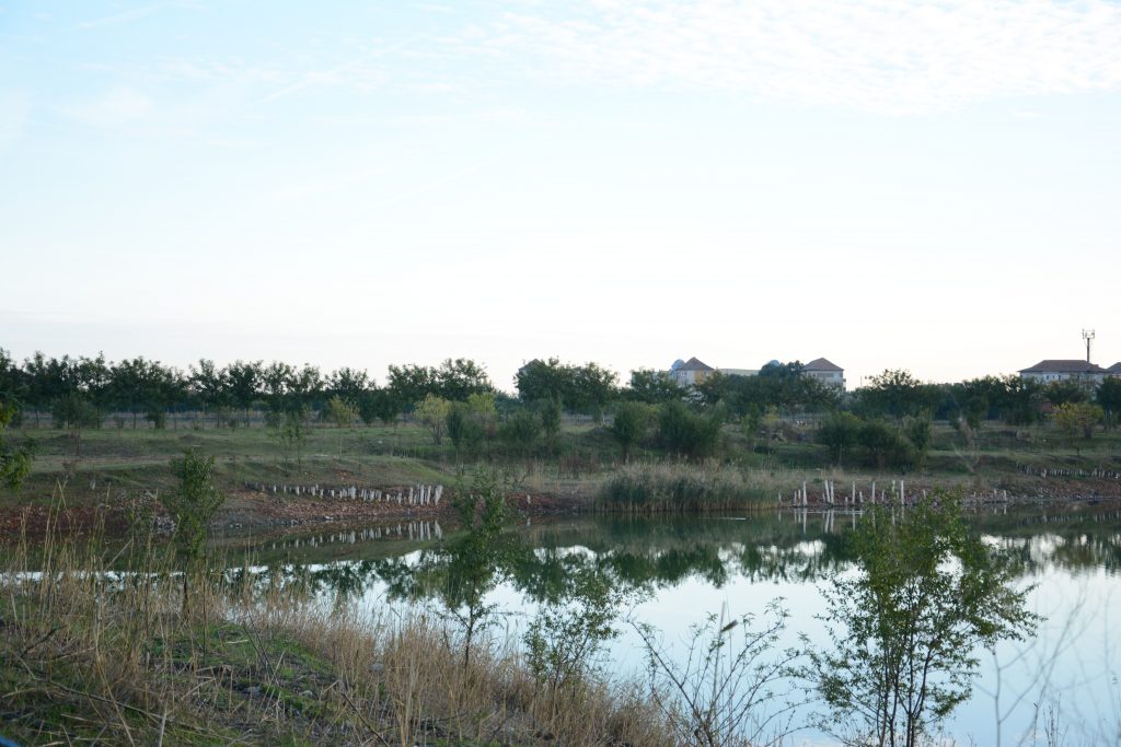
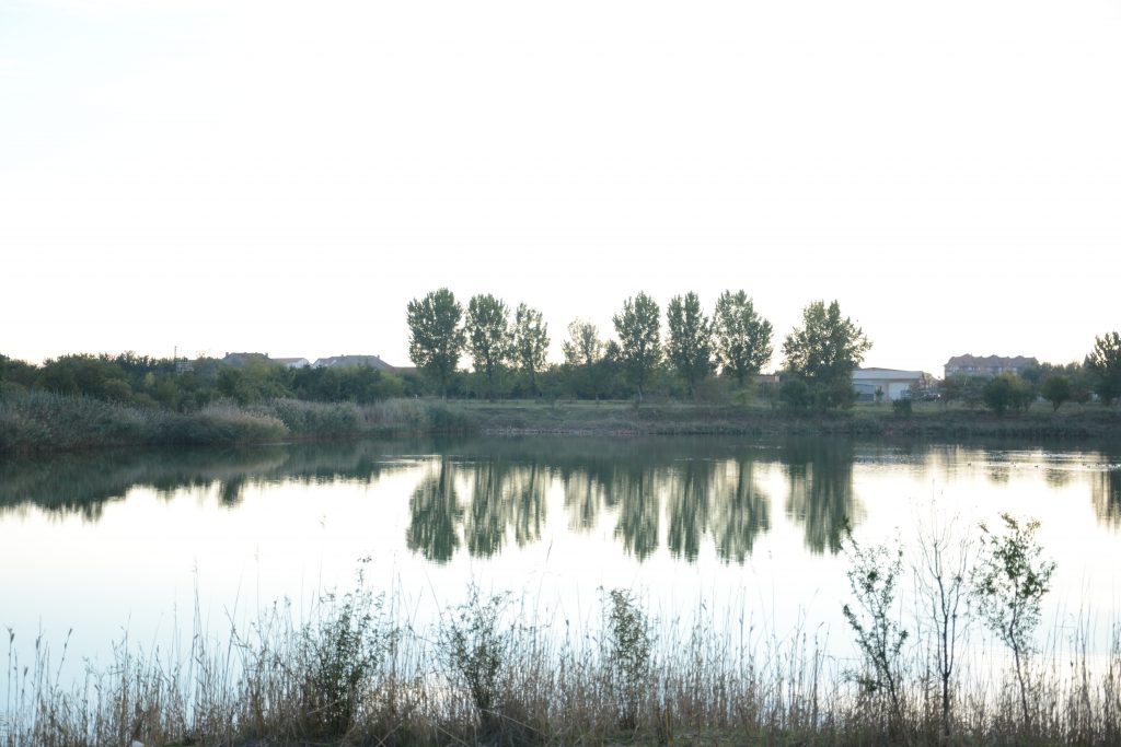
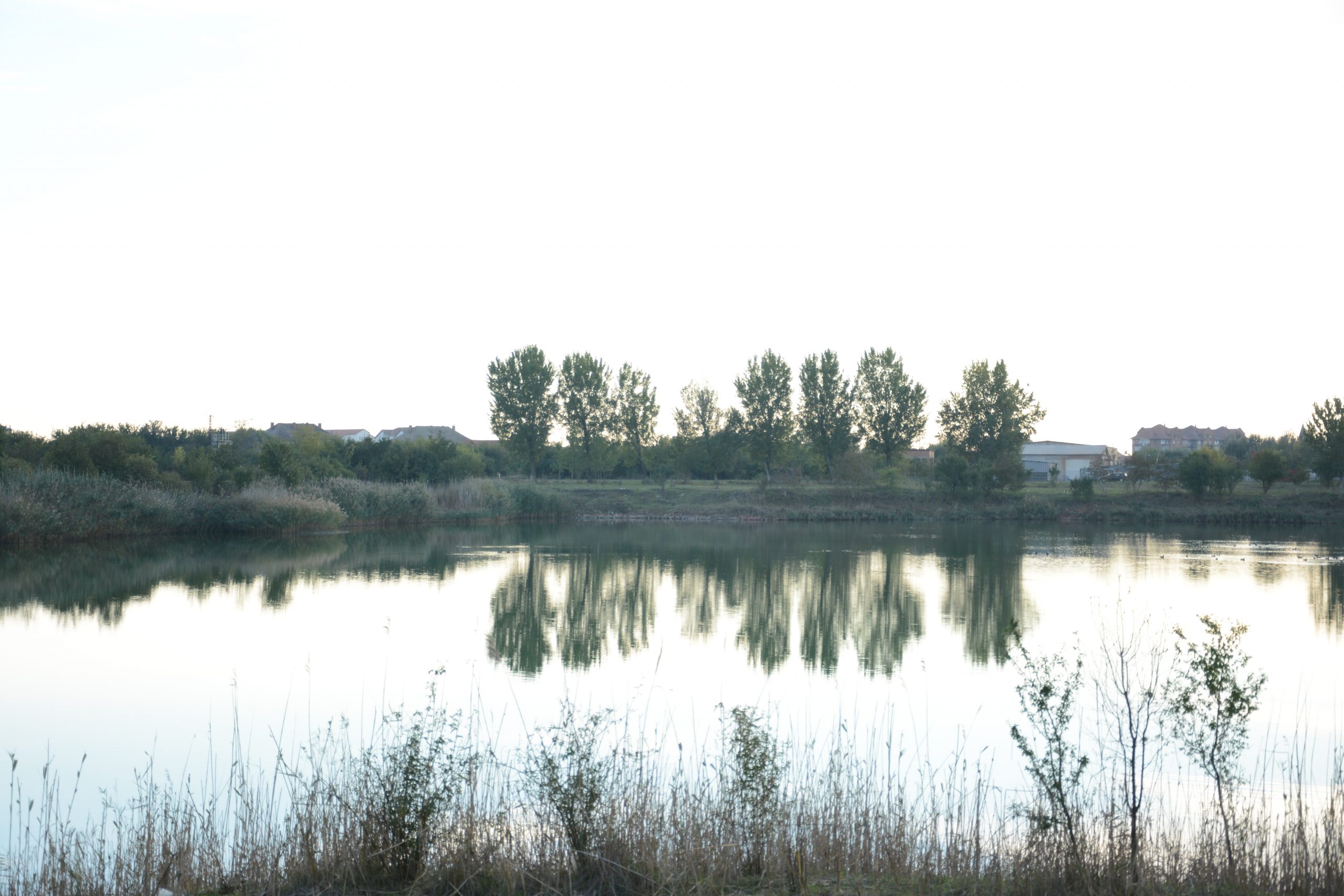
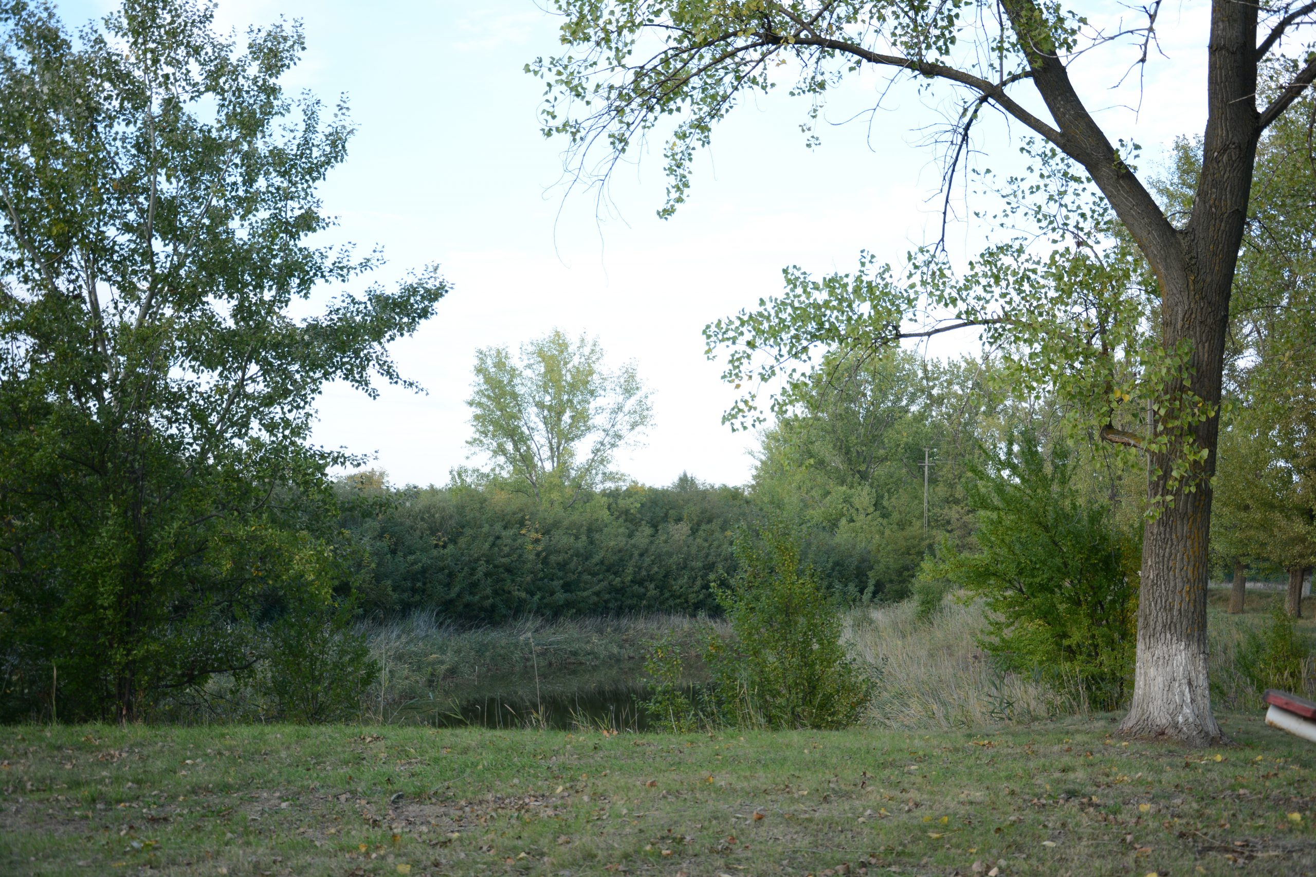
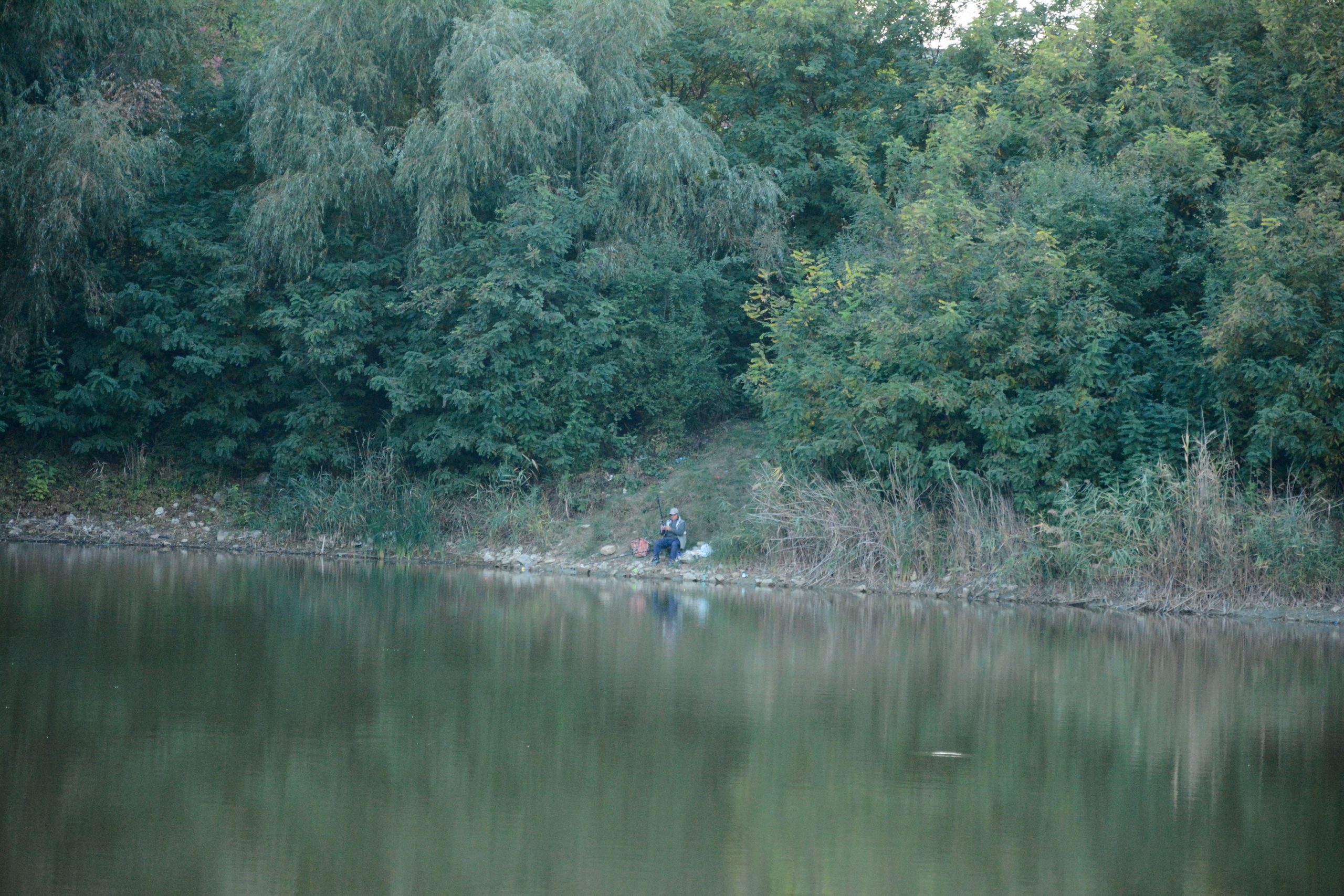
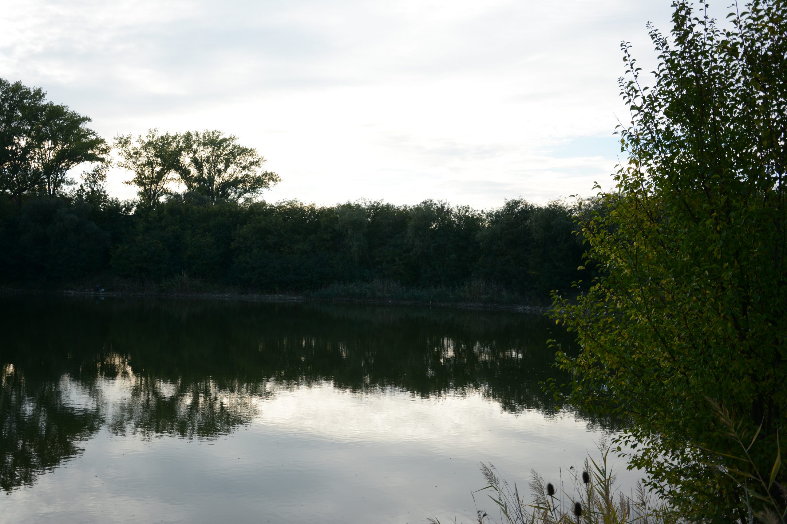
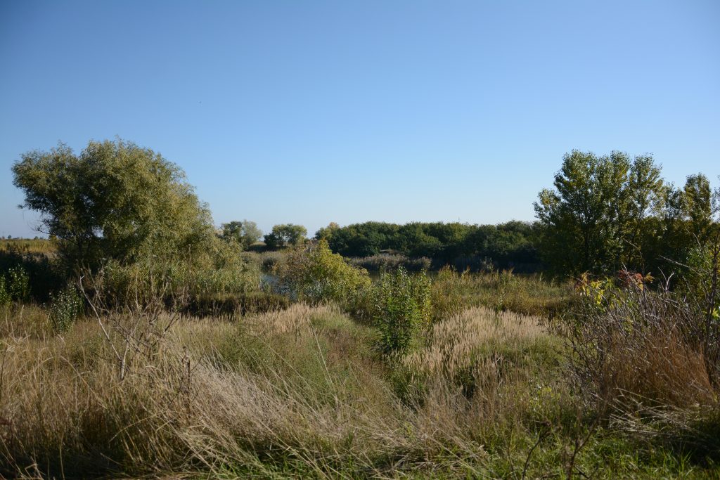
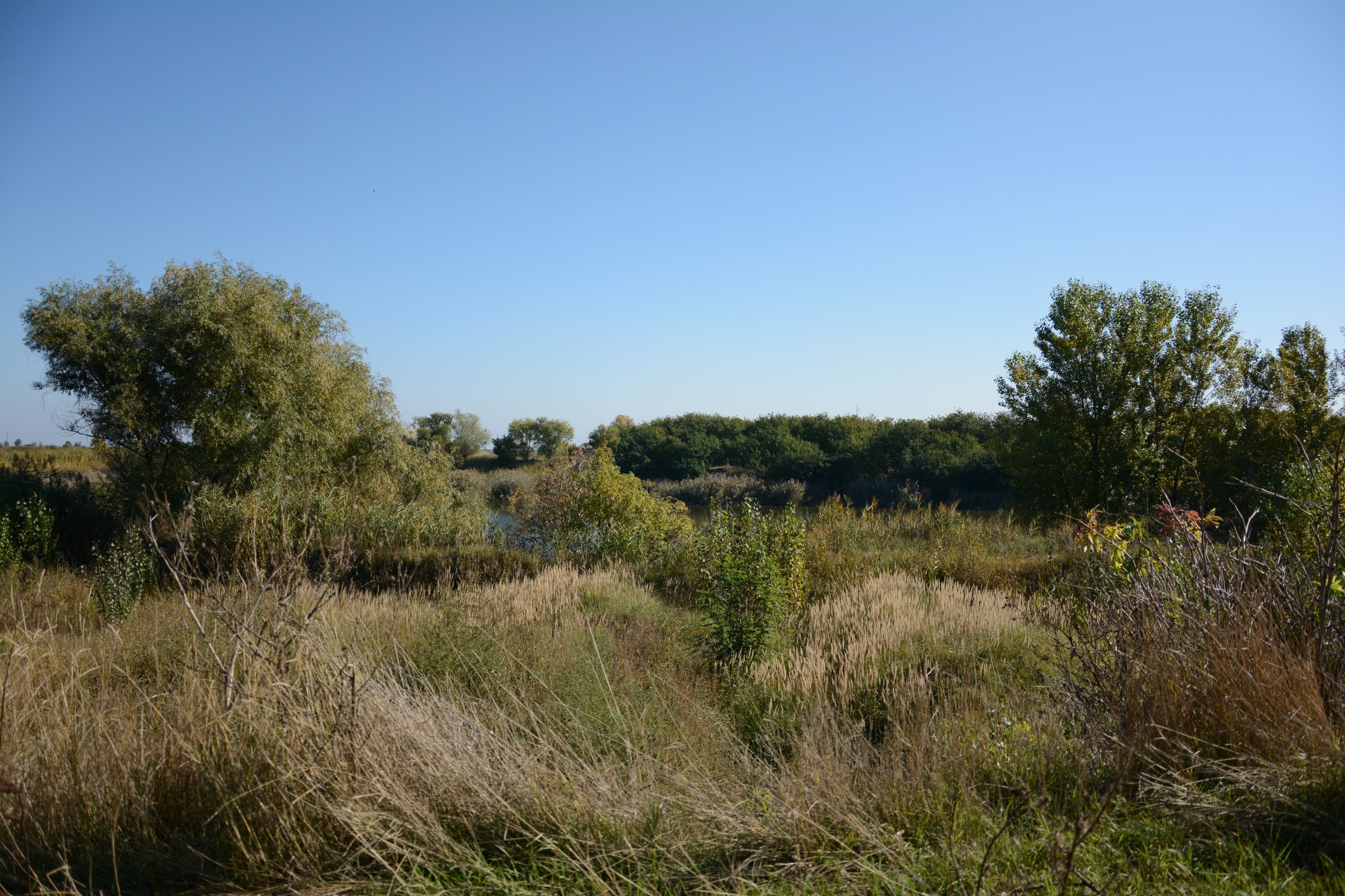
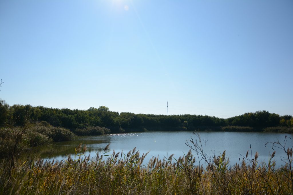
Besides the old smelting plant and a newer structure (not part of the historical factory), the lakes are the only man made structure still visible of this great industrial project. In the two decades that followed they have been gradually reconquered by nature. Ironically, as industrialized agriculture has taken hold of the nearby fields these lakes have transformed into an oasis for natural wildlife. They are currently an informal place for recreation used mainly by the local community either for fishing or bird spotting. Swimming is officially prohibited as several deaths have occurred in the past years. These were caused either by the algae growing in shallow waters or by the cold currents inhabiting the deeper pits. These have variable depths that quickly and unpredictably change the temperature of the water. While some lakes are truly deep some are drying out, as the water leveling system stopped working two decades ago. This system was used to control water levels during the extraction process. Water was constantly pumped from one lake into another as the huge “buggers” were toiling away scraping their depths. All connecting pipes are now above the water level or filled in. The resulting landscape, with its different kinds of water textures, is a haven for birds as well as various small mammals and rodents.
Local administrations have proposed various projects for regenerating the site, some going as far as proposing a water adventure park. The latest one imagines a place dedicated to bird watchers and nature enthusiasts. None, however, planned to reinterpret the industrial tradition, the memory of the production facilities and the many stories that it spanned.
text: Sergiu Dema & Cristian Blidariu

1.Herișanu Pond- Balta Herișanu
-
- 1.14
-
- 1.13

-
- 1.10

-

- 1.7
-
- 1.6

-
- 1.5
-
- 1.3

-
- 1.2

-
- 1.1
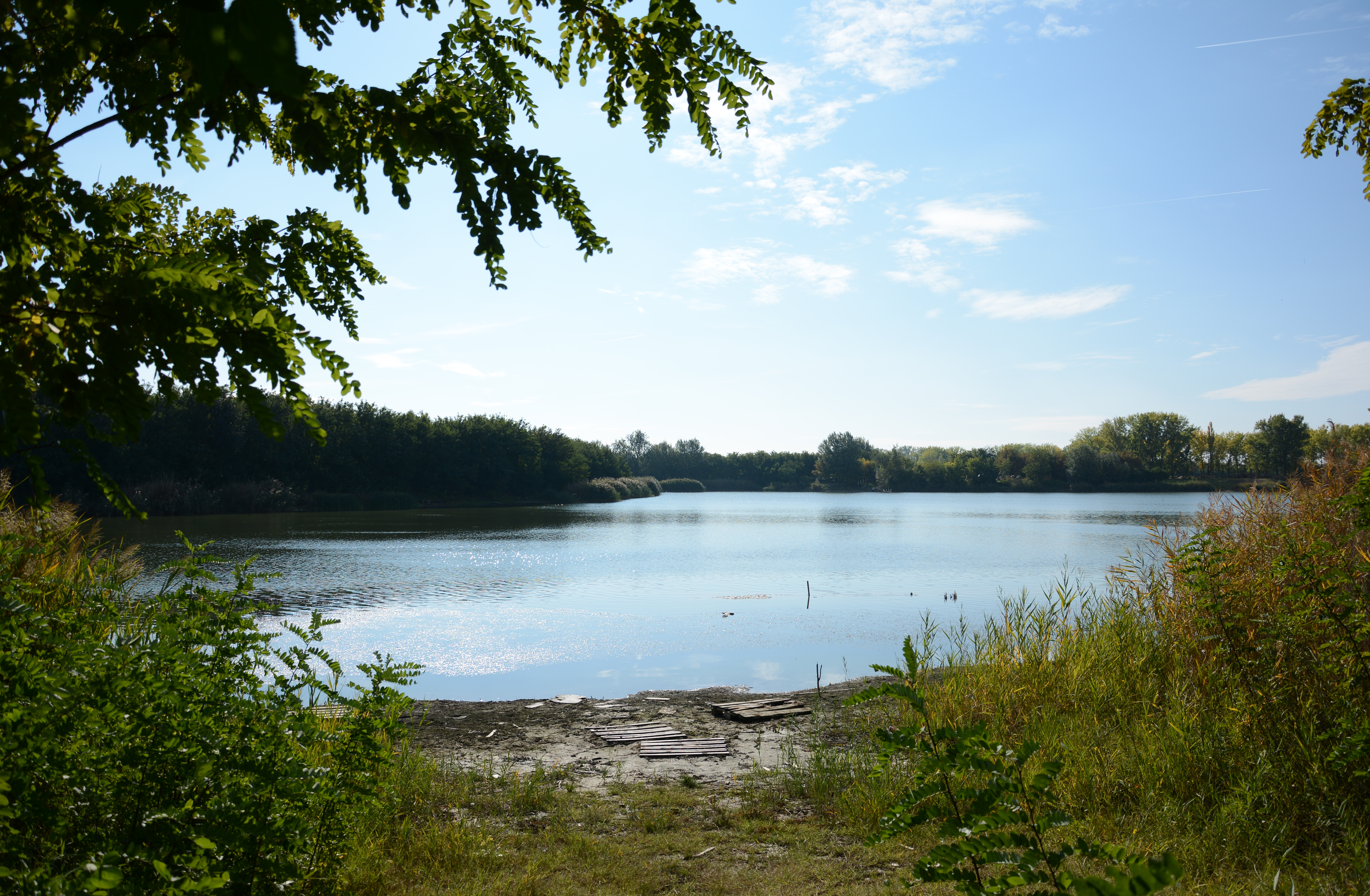
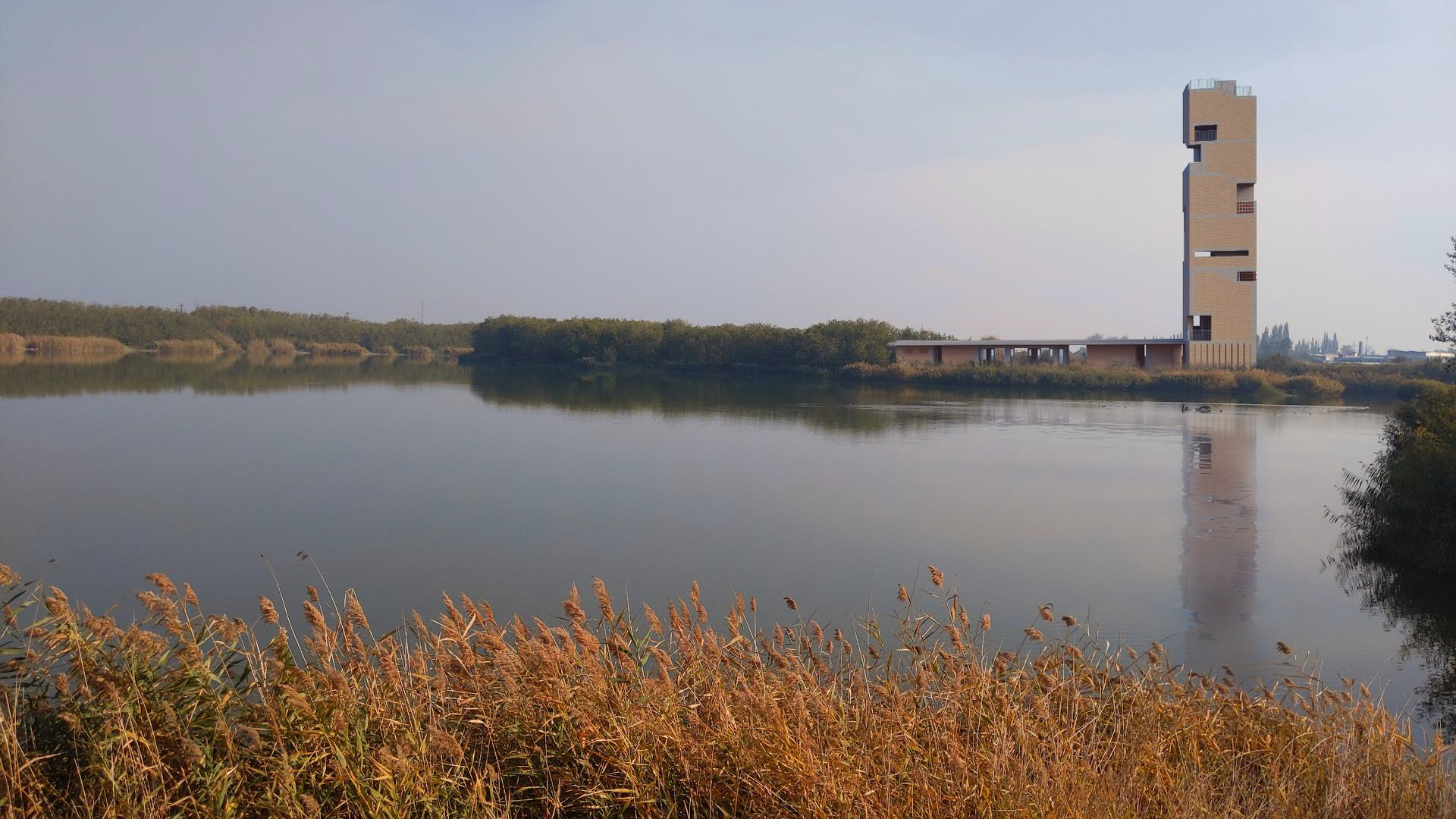
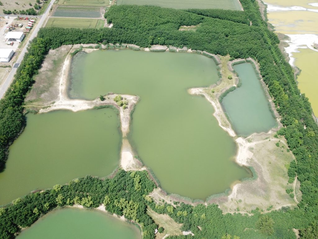
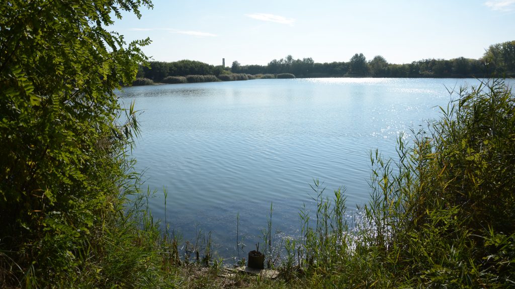
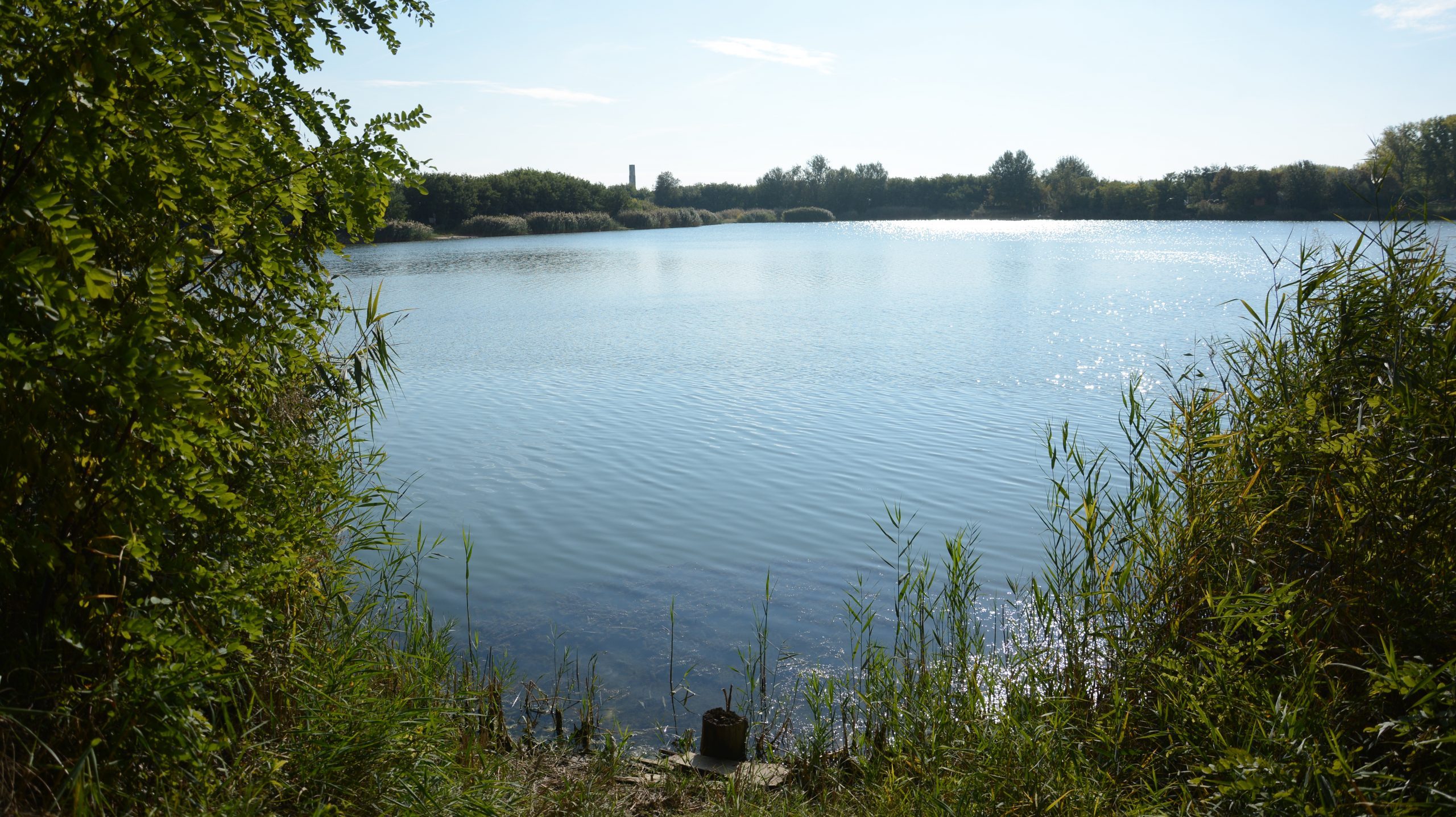
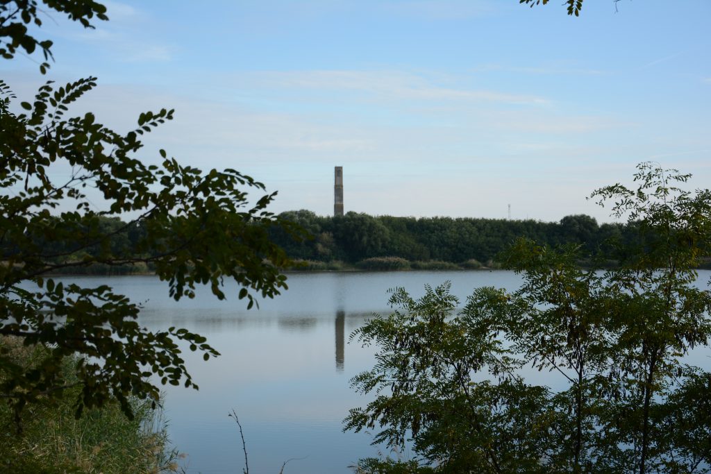
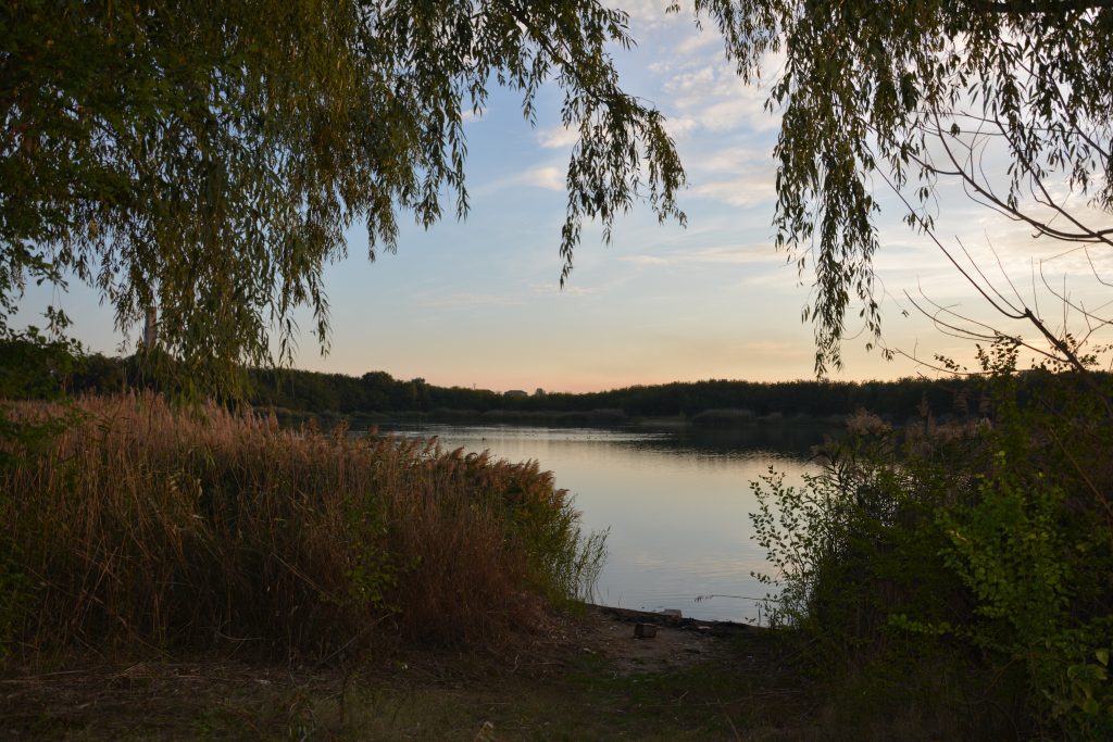
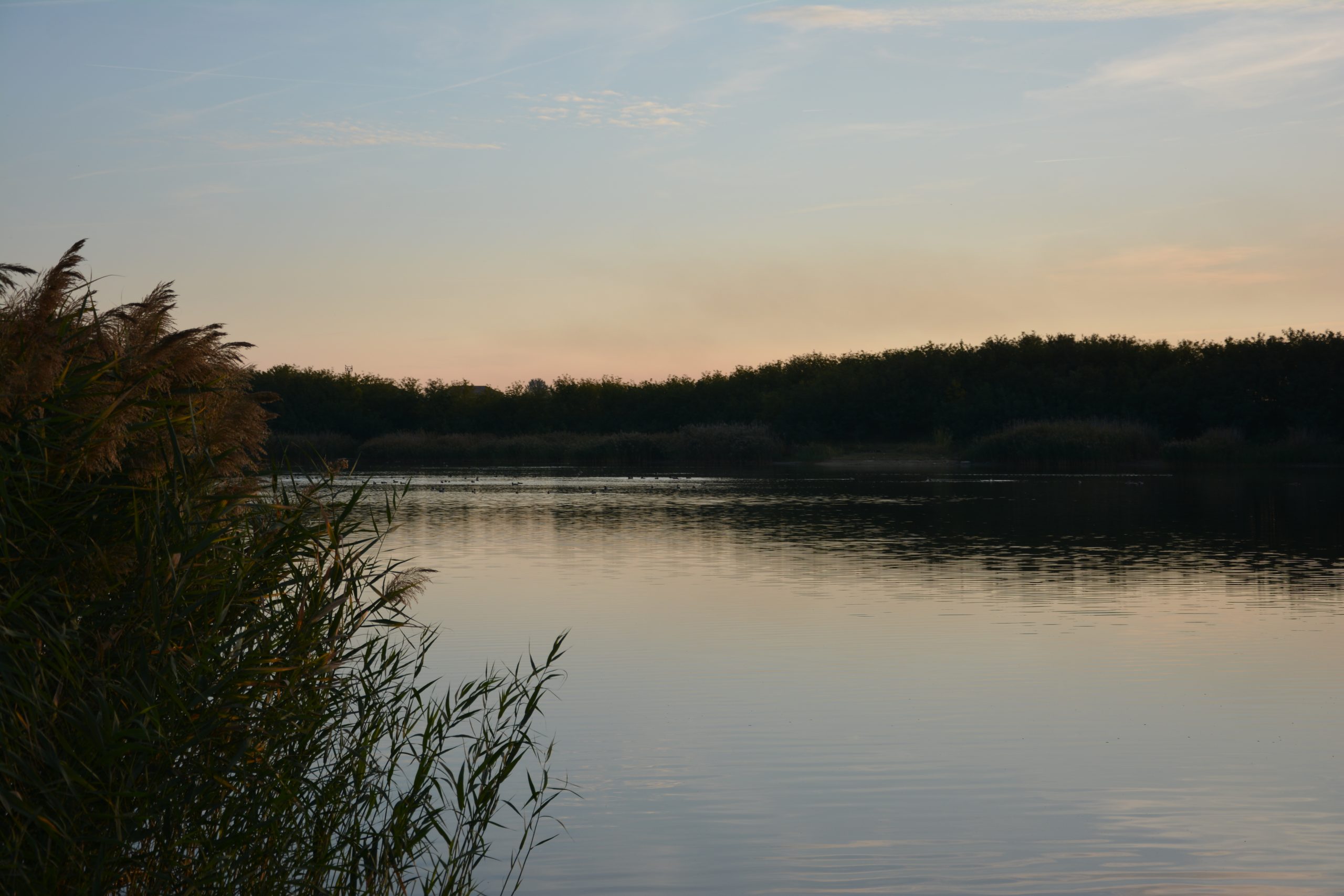
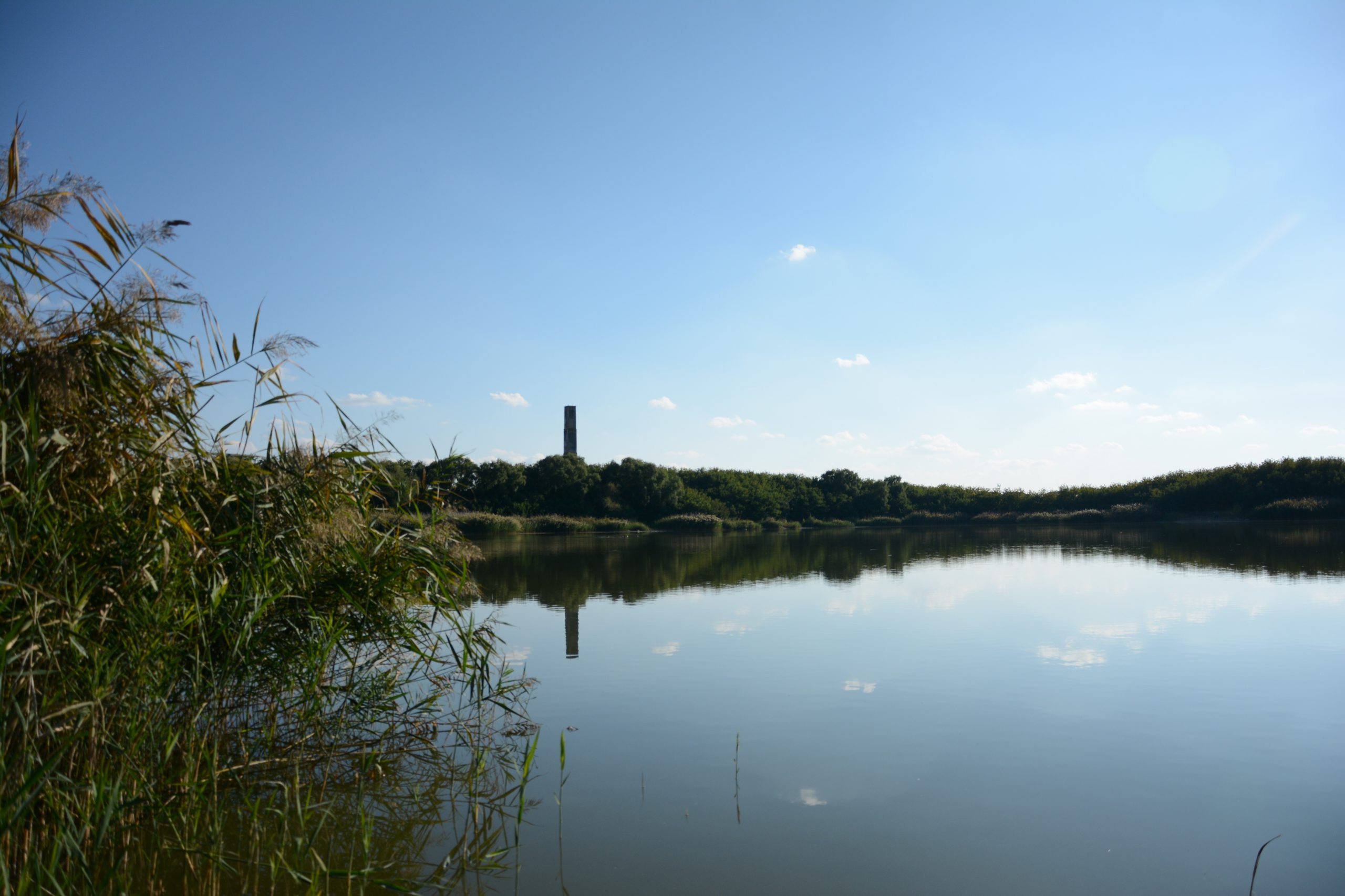
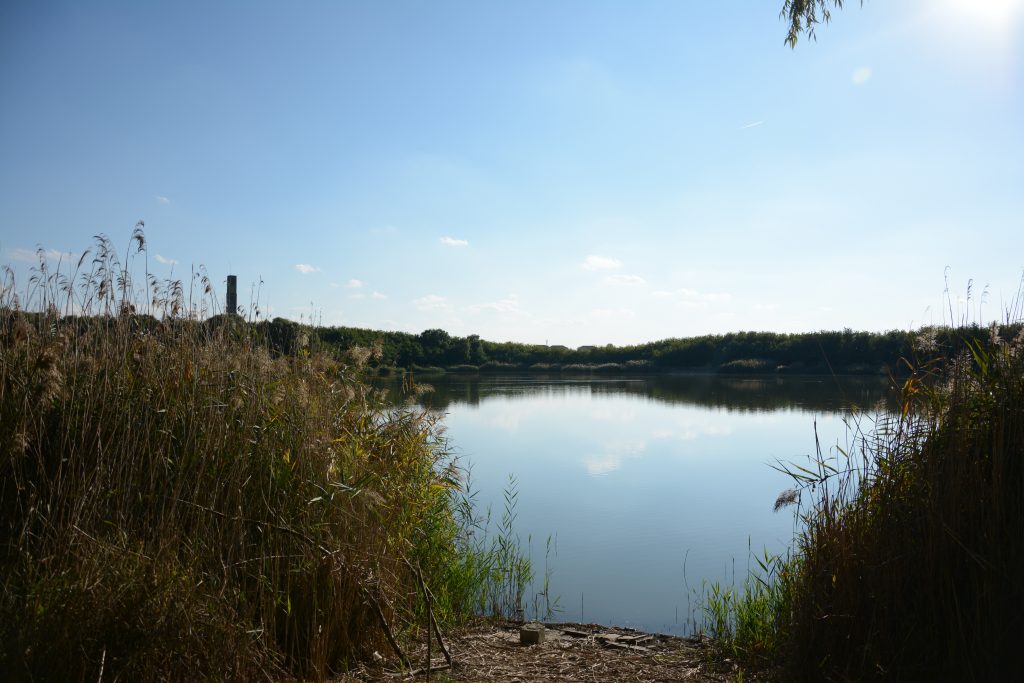
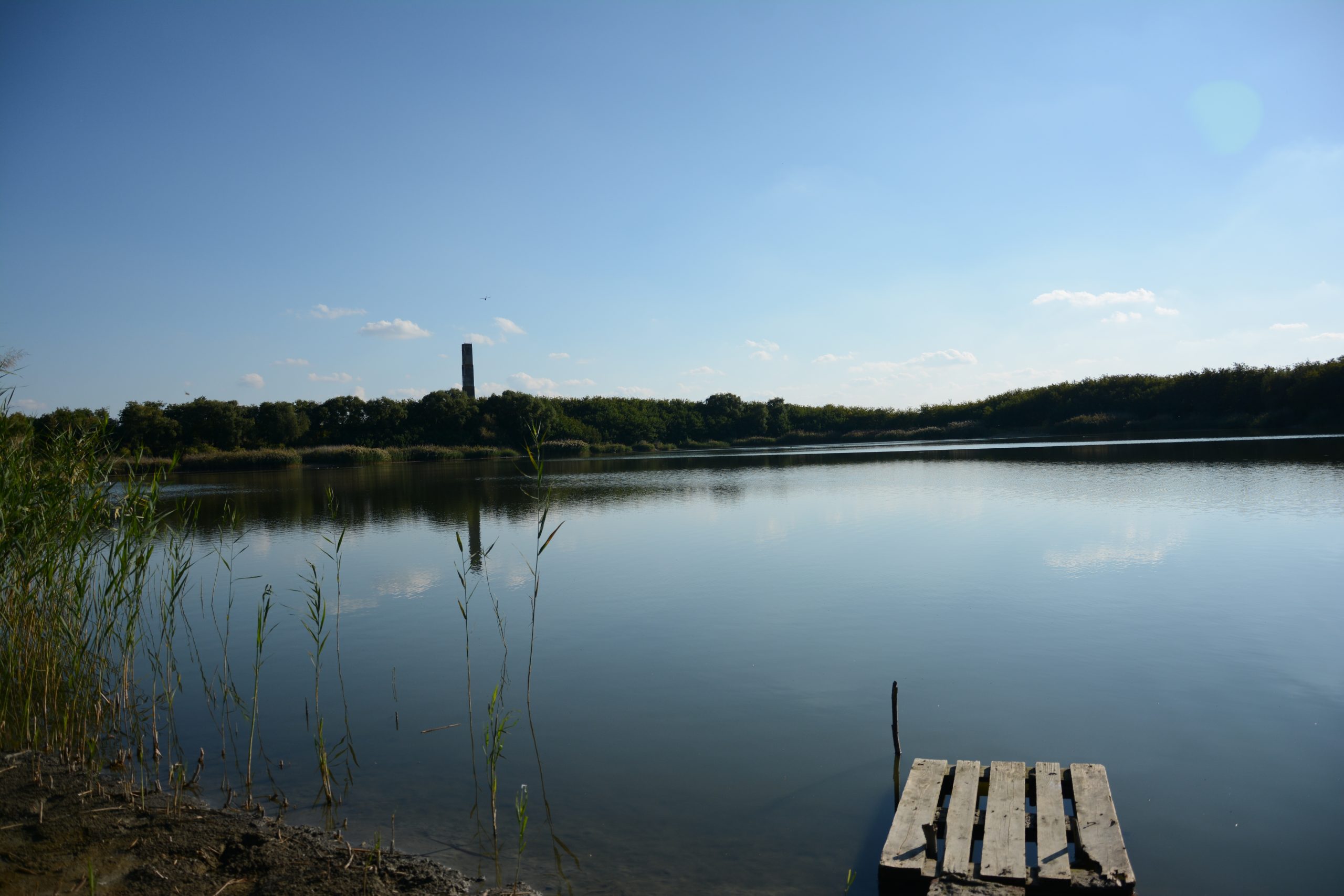
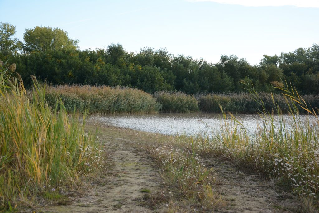
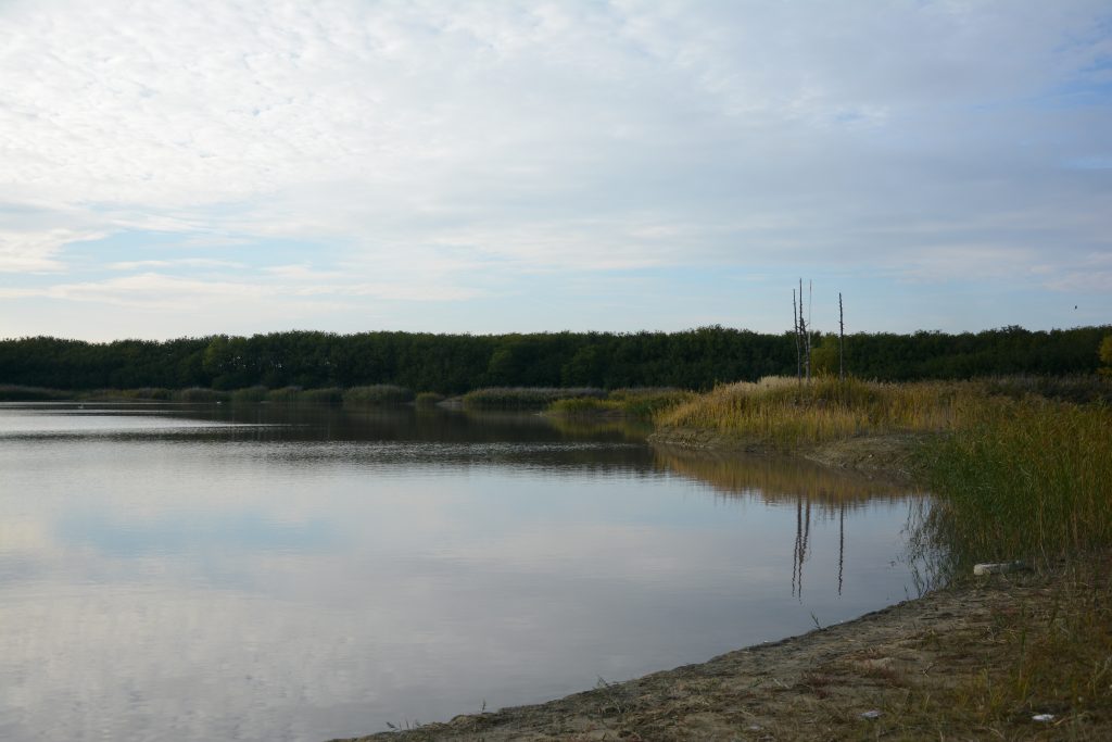
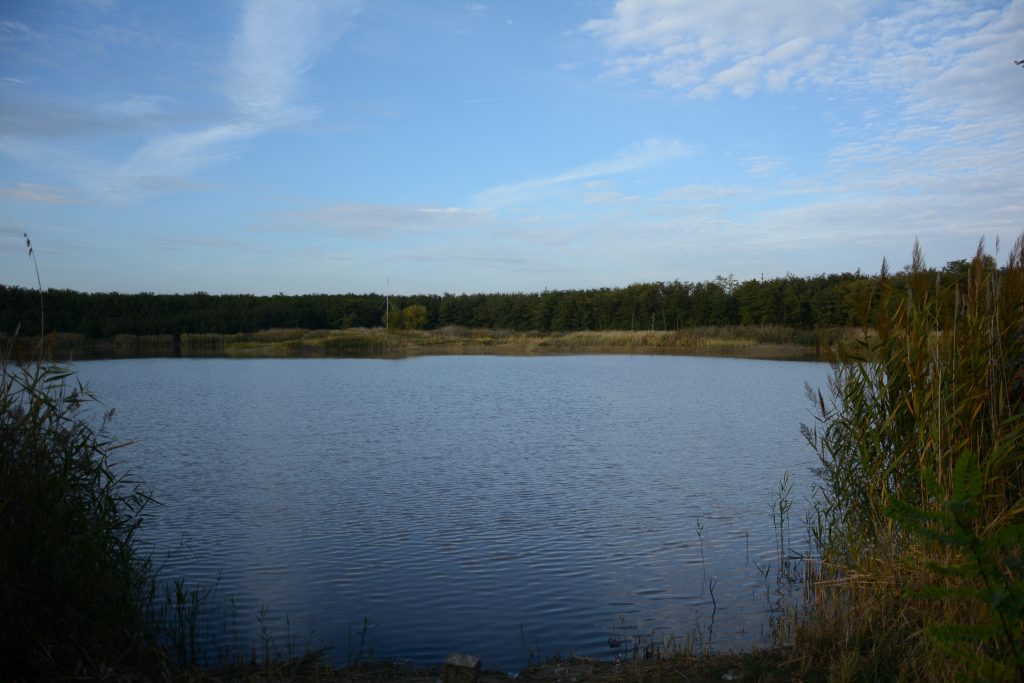
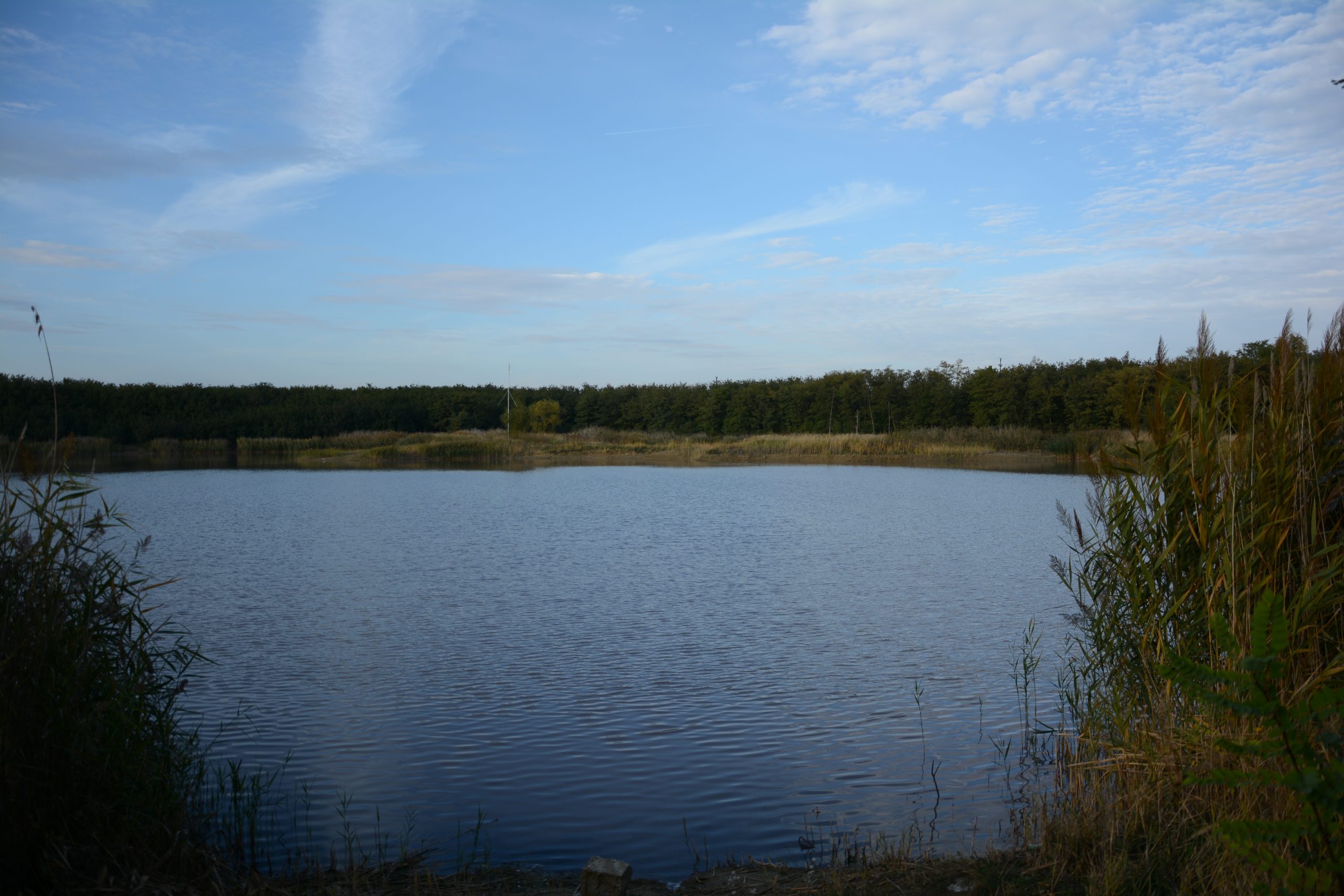
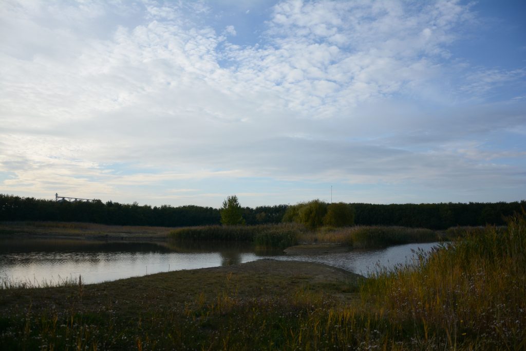
Herișanu Pond is the largest quarry, with an area of 191.122 square meters and a maximum depth of 24 m. The depths of the pond vary, resulting from the process of terracing through which it was created. The route that outlines the pond is doubled by a high vegetation barrier, which, depending on its density, obscures or reveals the luster of the water. This vegetal barrier presents various perforations along the route, through which it connects with the shore of the pond, reaching various improvised pontoons, occupied by fishermen. The shore of the pond is outlined by a reed vegetation that is interrupted in the areas of the pontoons, creating an opening and a visual connection with the opposite shore. This image is defined by a landscape in which the reflection of the water is the main element, a reflection that can present in some cases only the sky, and in others the sky, next to the vegetal layers that delimit the pond. The only built element, which can only be seen from the north shore, is the tower of the former hemp smelter.
The most accessible and open shore is in the park area, the only public space of the ponds. A characteristic of the Herișanu pond is the presence of a sunken bagger, the only visible trace left from the period of industrial activity. This pond is preferred by the locals, offering both the most welcoming water relations and the best fishing opportunities.
2.Second Pond- Balta Doi
-
- 2.1

-
- 2.2

-

- 2.3
-

- 2.4
-
- 2.5

-
- 2.6

-

- 2.7
-
- 2.8
-
- 2.9

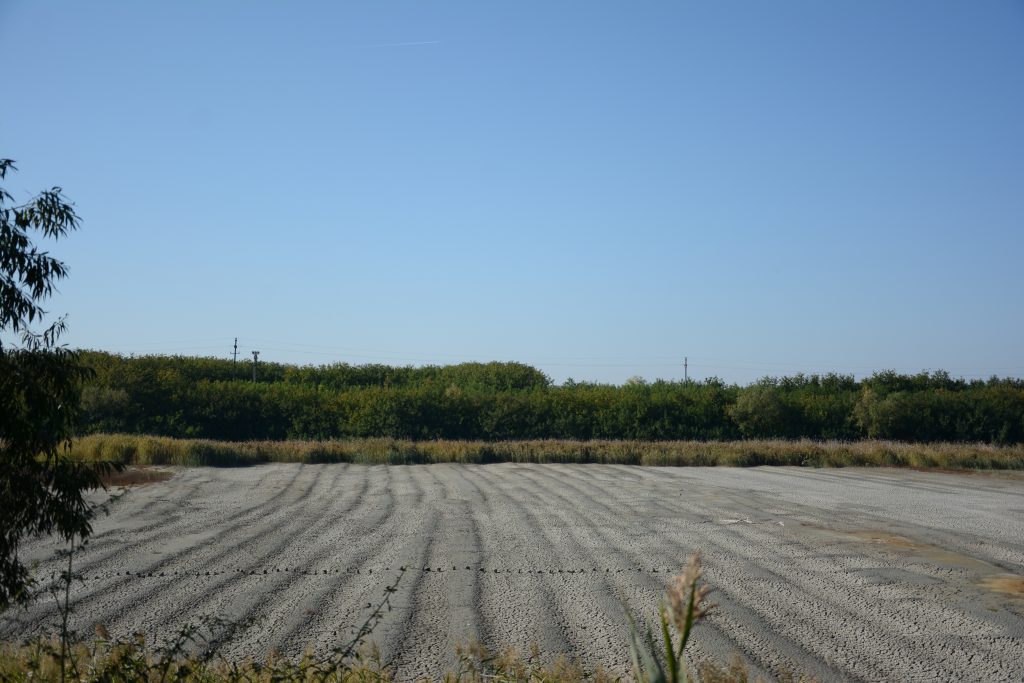
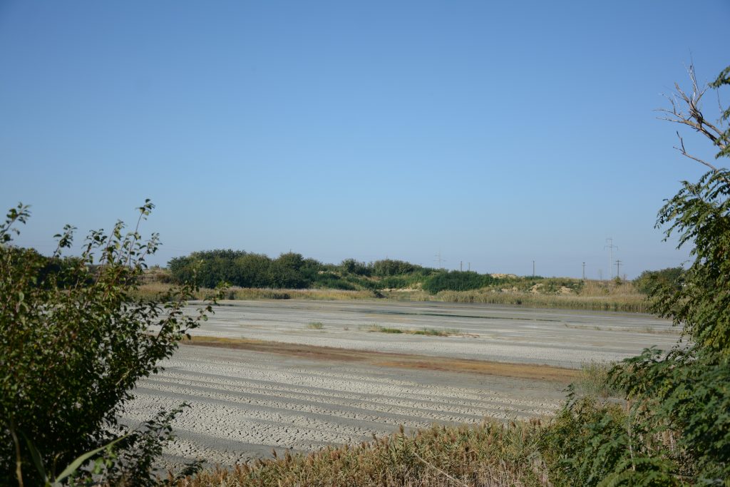
Balta Doi has an area of 126.835 square meters and a maximum depth of 2.5 m. This is revealed in the topography of the quarry, showing traces of clay excavation, creating a rhythm of rows of earth, parallel to each other and perpendicular to the longitudinal axis of the pond. The bottom of the quarry has an appearance characterized by a mostly dried out, cracked bed, giving the former ponds a special texture.
The pond has only one access, which is made from the park area. Here, the reed layer is much more pronounced. The contour of the shore, represented by the vegetal barrier, is not a uniform one, in some parts the layer of high vegetation is missing. Thus, in those areas, high voltage towers can be seen in the distance. With its shallow waters, the pond is a haven for various species of birds.
3.Szeles Pond- Blata Szeles
-
- 3.1

-
- 3.2

-
- 3.3

-
- 3.4
-

- 3.5
-
- 3.6

-

- 3.7
-

- 3.8
The Szeles pond has an area of 76.433 square meters and a maximum depth of 10 m. The only approach to this pond is on the north side, near the park area, by a gradual descent. In addition to the vegetation specific to the pond area, on this shore there are, occasionally, willows. The relationship with the pond is made by the perforations present in the reed layer. The visual opening creates an image defined by the landscape mirrored along the contour of the pond. In this reflection, the tower of the former hemp melting factory stands out.
4.Red Pond- Balta Roșie
-
- 4.2

-
- 4.3
-

- 4.4
The Red Pond has an area of 49.287 sqm and a maximum depth of 8 m. offers a more distant relationship. Following the service of the former hemp melting plant, the pond water, used to soften the hemp, is no longer possible to populate it with fish. The vegetation around the pond is scattered, which does not outline its shore, which makes it possible to observe the outskirts of Jimbolia.
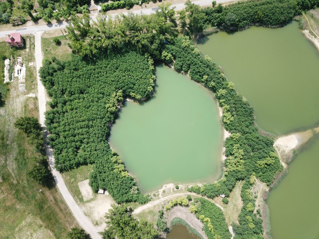
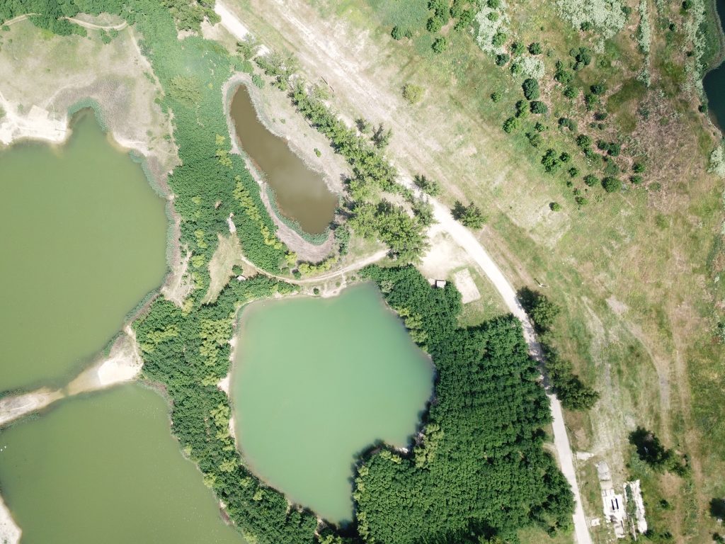
5.Blue Pond- Balta Albastră
-
- 5.1
-

- 5.2
-
- 5.3

-
- 5.4

-
- 5.5
-
- 5.6

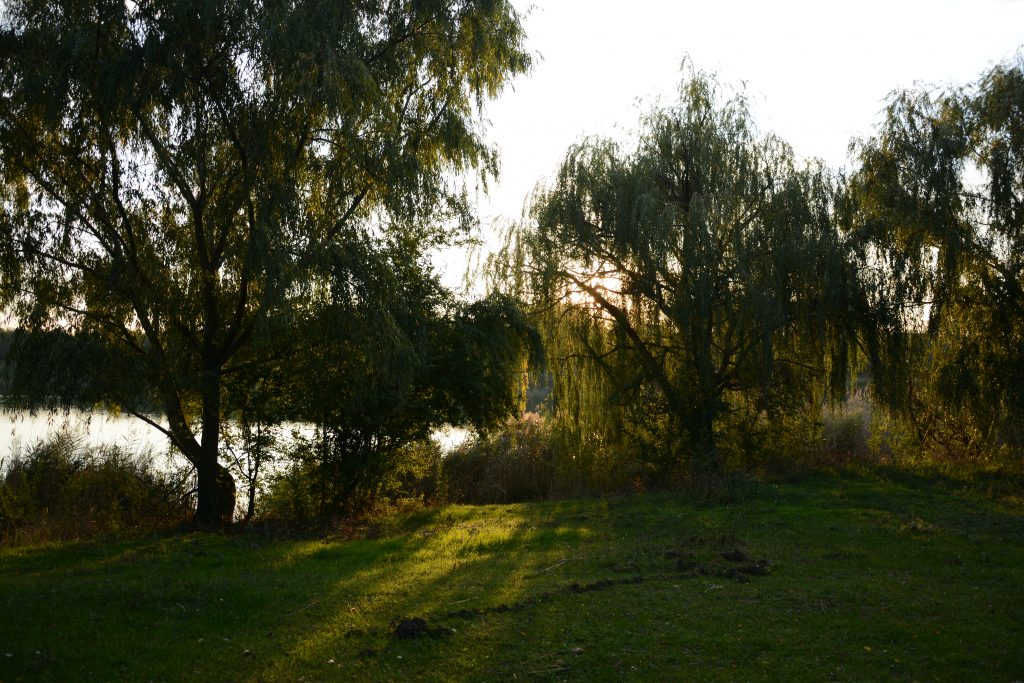
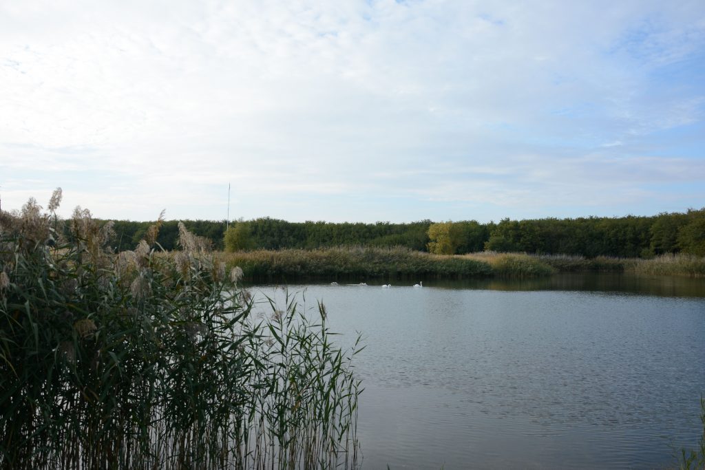
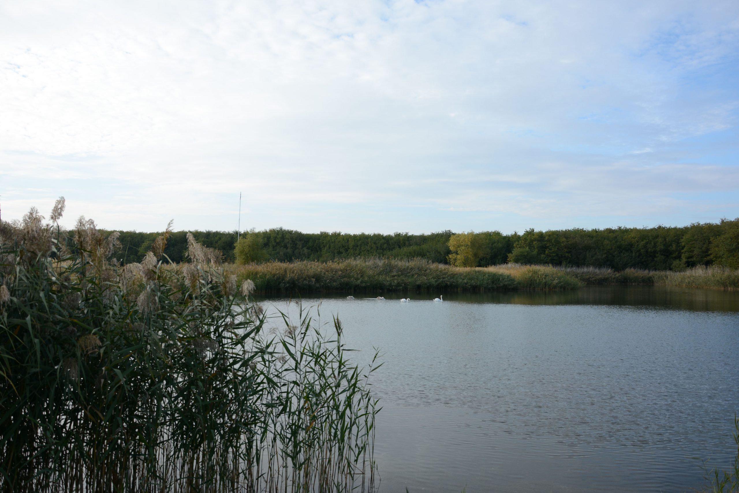
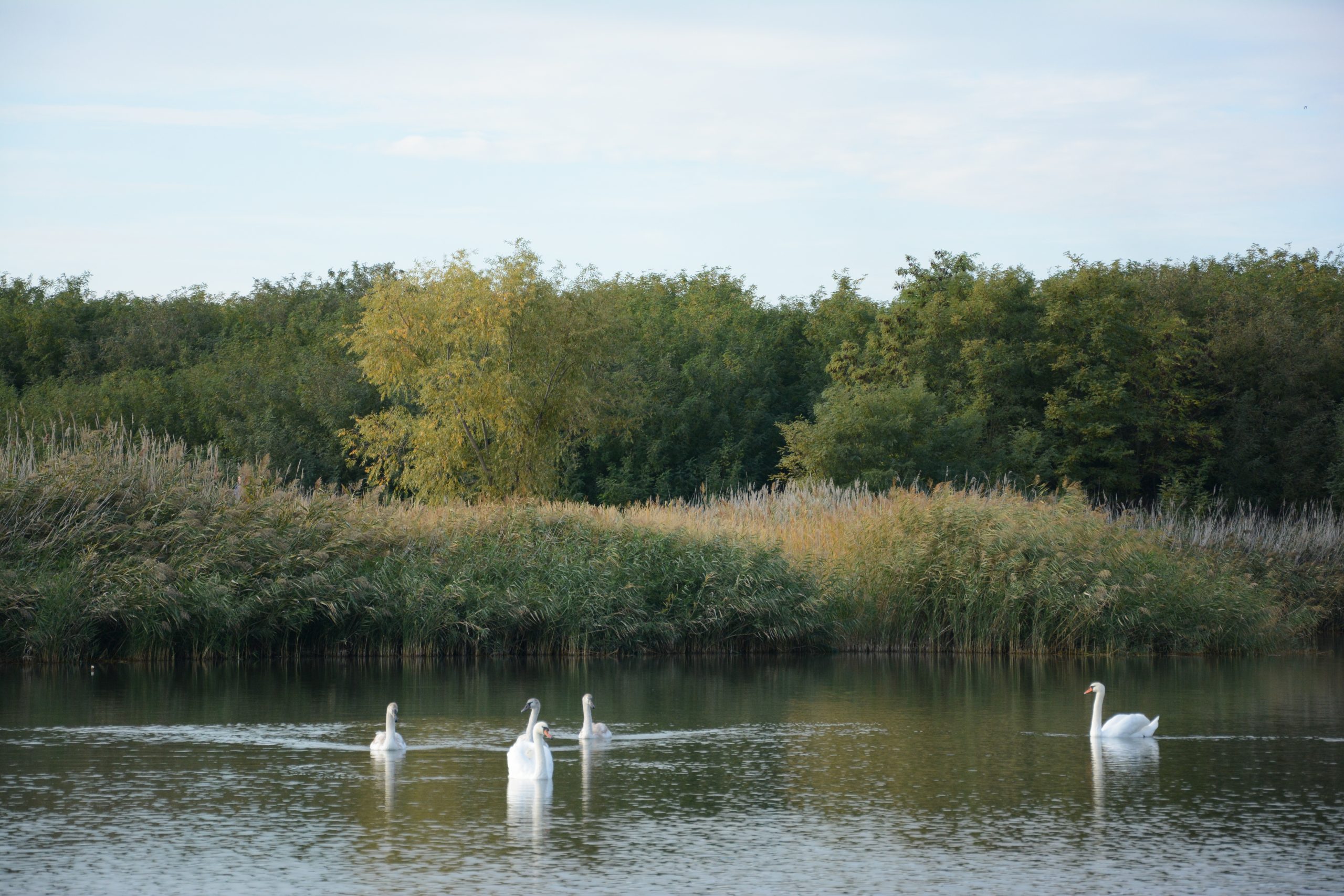
The Blue Pond has an area of 72.154 square meters and a maximum depth of 13 m. The pond has a more secluded position from the main road, being also visually obstructed by a layer of high vegetation. The main access to water is through a route that perforates this vegetation. One of the main features of this pond is the shape, which actually results from joining four quarries. With a more secluded position, the atmosphere of the pond is calm. Its banks are outlined by a thick layer of tall vegetation and reeds. The pond is also a good place to observe birds, especially swans.
6.Stairs Pond- Scări,
Scări pond has an area of 2.243 sqm, being the smallest pond in the area. Its position is next to the main road, Arena Ceramica Street. The water level is lower, and the pond has no way of approaching it.
Warm Pond- Balta Caldă,
-

- 7.1
-

- 7.2
-
- 7.3

Balta Caldă has an area of 10.500 sqm and a depth of 2 m. The access to the pond is made through an alley that starts from the main street. The shore of the pond is steep, with stones, surrounded by a layer of vegetation. It is occasionally used for fishing.
Fifth Pond- Balta Cinci
-
- 8.1
-
- 8.2

Balta Cinci has an area of 20,887 square meters and a maximum depth of 5 m. As a result of this remote position, towards the area of agricultural land, the pond is not frequently visited by the inhabitants, which led to its wilder character. The shore is not accessible, the reed layer not being crossed by people. Being a space more protected from human activity, we find here the natural habitats of different species of wild animals.
Sixth Pond -Balta Șase
-

- 9.1
-
- 9.2

Balta Șase has an area of 34,433 square meters and a maximum depth of 4 m. It is located near the Fifth Pond and the Herișanu pond. The difference between the depth levels of the pond can be observed visually by the presence of the reed that grows in the shallow water, in parallel rows, revealing the way in which the quarry was excavated. This feature of the pond provides space for the habitats of multiple bird species.
Images and descriptions by: arch. stud. Laura Argeșanu (FAUT), arch.stud. Jaqueline Iancu (FAUT)
Read more similar articles in our LTT1 Digital Publication linked below: